Distance to Walburg, Texas

Calculating Your Route
Just a moment while we process your request...
Location Information
-
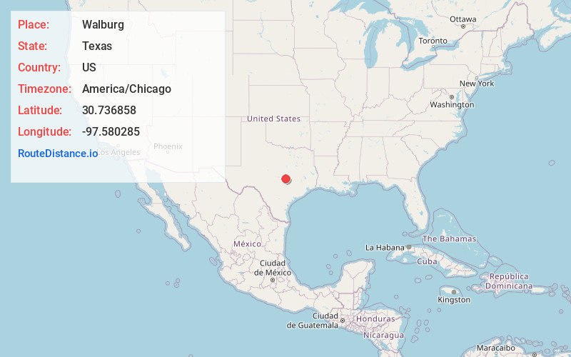
Full AddressWalburg, TX 76530
-
Coordinates30.7368576, -97.5802851
-
LocationWalburg , Texas , US
-
TimezoneAmerica/Chicago
-
Current Local Time8:30:06 PM America/ChicagoSunday, June 1, 2025
-
Page Views0
About Walburg
Walburg, originally called Concordia, is an unincorporated area located at the crossroads of Farm to Market Road 972 and Farm to Market Road 1105 in Williamson County, Texas, United States, thirty-three miles northeast of Austin. Walburg is a Texas German settlement named for the birthplace of one of its founders.


Nearby Places
Found 10 places within 50 miles

Theon
2.1 mi
3.4 km
Theon, TX 76537
Get directions

Weir
4.3 mi
6.9 km
Weir, TX 78626
Get directions

Jarrell
6.2 mi
10.0 km
Jarrell, TX
Get directions
Serenada
7.7 mi
12.4 km
Serenada, TX
Get directions

Granger
8.3 mi
13.4 km
Granger, TX 76530
Get directions

Georgetown
9.2 mi
14.8 km
Georgetown, TX
Get directions

Bartlett
10.0 mi
16.1 km
Bartlett, TX 76511
Get directions

Prairie Dell
10.2 mi
16.4 km
Prairie Dell, TX 76571
Get directions

Hutto
13.6 mi
21.9 km
Hutto, TX 78634
Get directions

Holland
14.4 mi
23.2 km
Holland, TX 76534
Get directions
Location Links
Local Weather
Weather Information
Coming soon!
Location Map
Static map view of Walburg, Texas
Browse Places by Distance
Places within specific distances from Walburg
Short Distances
Long Distances
Click any distance to see all places within that range from Walburg. Distances shown in miles (1 mile ≈ 1.61 kilometers).