Distance to Waldron, Missouri

Calculating Your Route
Just a moment while we process your request...
Location Information
-
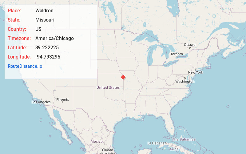
Full AddressWaldron, MO 64152
-
Coordinates39.2222245, -94.7932947
-
LocationWaldron , Missouri , US
-
TimezoneAmerica/Chicago
-
Current Local Time4:21:44 AM America/ChicagoWednesday, June 18, 2025
-
Page Views0
About Waldron
Waldron is an unincorporated community in southwestern Platte County, Missouri in the United States. Waldron is located on the edge of the Missouri River floodplain approximately one mile southeast of Route 45. I-435 crosses the Missouri River 2.5 miles south of the community.
Nearby Places
Found 10 places within 50 miles

Farley
4.6 mi
7.4 km
Farley, MO
Get directions

Piper Unified School District 203
4.9 mi
7.9 km
Piper Unified School District 203, Kansas City, KS
Get directions

Weatherby Lake
5.3 mi
8.5 km
Weatherby Lake, MO 64152
Get directions
Cochrane
5.5 mi
8.9 km
Cochrane, KS 66043
Get directions
Lansing
6.0 mi
9.7 km
Lansing, KS
Get directions

Parkville
6.2 mi
10.0 km
Parkville, MO
Get directions
Richardson
6.5 mi
10.5 km
Richardson, Lansing, KS 66043
Get directions

East Leavenworth
7.1 mi
11.4 km
East Leavenworth, Lee Township, MO 64079
Get directions
Bain City
7.3 mi
11.7 km
Bain City, Leavenworth, KS 66048
Get directions
Platte Woods
7.8 mi
12.6 km
Platte Woods, MO 64151
Get directions
Location Links
Local Weather
Weather Information
Coming soon!
Location Map
Static map view of Waldron, Missouri
Browse Places by Distance
Places within specific distances from Waldron
Short Distances
Long Distances
Click any distance to see all places within that range from Waldron. Distances shown in miles (1 mile ≈ 1.61 kilometers).