Distance to Bain City, Kansas

Calculating Your Route
Just a moment while we process your request...
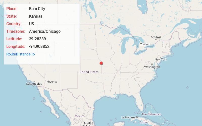
Location Information
-
Full AddressBain City, Leavenworth, KS 66048
-
Coordinates39.2838896, -94.9038523
-
LocationLeavenworth , Kansas , US
-
TimezoneAmerica/Chicago
-
Current Local Time7:55:29 PM America/ChicagoMonday, June 2, 2025
-
Page Views0
Nearby Places
Found 10 places within 50 miles

Cochrane
1.8 mi
2.9 km
Cochrane, KS 66043
Get directions

Leavenworth
2.2 mi
3.5 km
Leavenworth, KS
Get directions
Lansing
2.4 mi
3.9 km
Lansing, KS
Get directions
Farley
3.9 mi
6.3 km
Farley, MO
Get directions
Tracy
8.7 mi
14.0 km
Tracy, MO 64079
Get directions

Weston
8.8 mi
14.2 km
Weston, MO 64098
Get directions

Platte City
8.8 mi
14.2 km
Platte City, MO 64079
Get directions

Piper Unified School District 203
9.5 mi
15.3 km
Piper Unified School District 203, Kansas City, KS
Get directions
Basehor
10.0 mi
16.1 km
Basehor, KS 66007
Get directions

Weatherby Lake
11.5 mi
18.5 km
Weatherby Lake, MO 64152
Get directions
Location Links
Local Weather
Weather Information
Coming soon!
Location Map
Static map view of Bain City, Kansas
Browse Places by Distance
Places within specific distances from Bain City
Short Distances
Long Distances
Click any distance to see all places within that range from Bain City. Distances shown in miles (1 mile ≈ 1.61 kilometers).