Distance to Waller, Texas

Calculating Your Route
Just a moment while we process your request...
Location Information
-
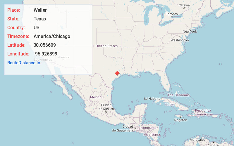
Full AddressWaller, TX
-
Coordinates30.0566085, -95.9268986
-
LocationWaller , Texas , US
-
TimezoneAmerica/Chicago
-
Current Local Time12:39:46 PM America/ChicagoWednesday, June 18, 2025
-
Page Views0
About Waller
Waller is a city in Harris and Waller counties in Texas, United States, that is within the Houston–Cypress metropolitan area. Its population was 2,682 at the 2020 U.S. census. The Waller area is located along U.S. Route 290 41 miles northwest of downtown Houston.


Nearby Places
Found 10 places within 50 miles

Prairie View
4.4 mi
7.1 km
Prairie View, TX
Get directions

Hempstead
9.5 mi
15.3 km
Hempstead, TX 77445
Get directions

Pinehurst
16.6 mi
26.7 km
Pinehurst, TX
Get directions

Brookshire
18.7 mi
30.1 km
Brookshire, TX 77423
Get directions

Tomball
18.8 mi
30.3 km
Tomball, TX
Get directions

Katy
19.7 mi
31.7 km
Katy, TX
Get directions

Bellville
21.1 mi
34.0 km
Bellville, TX 77418
Get directions

Sealy
23.5 mi
37.8 km
Sealy, TX 77474
Get directions

Cinco Ranch
24.2 mi
38.9 km
Cinco Ranch, TX
Get directions

Jersey Village
24.7 mi
39.8 km
Jersey Village, TX
Get directions
Location Links
Local Weather
Weather Information
Coming soon!
Location Map
Static map view of Waller, Texas
Browse Places by Distance
Places within specific distances from Waller
Short Distances
Long Distances
Click any distance to see all places within that range from Waller. Distances shown in miles (1 mile ≈ 1.61 kilometers).