Distance to Wallingford, Connecticut

Calculating Your Route
Just a moment while we process your request...
Location Information
-
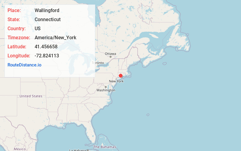
Full AddressWallingford, CT 06492
-
Coordinates41.4566578, -72.8241126
-
LocationWallingford , Connecticut , US
-
TimezoneAmerica/New_York
-
Current Local Time4:40:25 PM America/New_YorkMonday, June 23, 2025
-
Website
-
Page Views0
About Wallingford
Wallingford is a town in New Haven County, Connecticut, United States, centrally located between New Haven and Hartford, and Boston and New York City. The town is part of the South Central Connecticut Planning Region and the New York Metropolitan Area. The population was 44,396 at the 2020 census.


Nearby Places
Found 10 places within 50 miles

Meriden
5.7 mi
9.2 km
Meriden, CT
Get directions

Cheshire
5.7 mi
9.2 km
Cheshire, CT
Get directions

Hamden
6.5 mi
10.5 km
Hamden, CT
Get directions

Montowese
7.6 mi
12.2 km
Montowese, North Haven, CT 06473
Get directions
Highland
8.7 mi
14.0 km
Highland, Middletown, CT 06457
Get directions

North Branford
9.4 mi
15.1 km
North Branford, CT
Get directions

Crystal Lake
10.6 mi
17.1 km
Crystal Lake, Middletown, CT 06457
Get directions

Middletown
11.6 mi
18.7 km
Middletown, CT 06457
Get directions

New Haven
11.6 mi
18.7 km
New Haven, CT
Get directions

Naugatuck
11.9 mi
19.2 km
Naugatuck, CT
Get directions
Location Links
Local Weather
Weather Information
Coming soon!
Location Map
Static map view of Wallingford, Connecticut
Browse Places by Distance
Places within specific distances from Wallingford
Short Distances
Long Distances
Click any distance to see all places within that range from Wallingford. Distances shown in miles (1 mile ≈ 1.61 kilometers).