Distance to Walnut Grove, Illinois

Calculating Your Route
Just a moment while we process your request...
Location Information
-
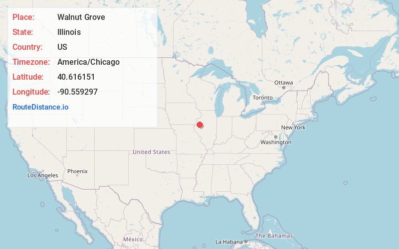
Full AddressWalnut Grove, IL 61470
-
Coordinates40.6161512, -90.5592972
-
LocationWalnut Grove , Illinois , US
-
TimezoneAmerica/Chicago
-
Current Local Time7:47:42 PM America/ChicagoWednesday, June 18, 2025
-
Page Views0
About Walnut Grove
Walnut Grove is an unincorporated community in McDonough County, Illinois, United States. Walnut Grove Township was first settled in 1830. The town of Walnut Grove was "laid out" in 1870. It was originally created on a railroad line that passed through the area, however this railroad line no longer exists.
Nearby Places
Found 10 places within 50 miles

Youngstown
4.3 mi
6.9 km
Youngstown, IL 61473
Get directions
Prairie City
5.1 mi
8.2 km
Prairie City, IL 61470
Get directions

Bushnell
5.2 mi
8.4 km
Bushnell, IL 61422
Get directions
Greenbush
6.7 mi
10.8 km
Greenbush, IL 61473
Get directions

Good Hope
7.2 mi
11.6 km
Good Hope, IL 61438
Get directions

Avon
7.3 mi
11.7 km
Avon, IL 61415
Get directions
Manley
7.3 mi
11.7 km
Manley, IL 61415
Get directions
Bardolph
8.4 mi
13.5 km
Bardolph, IL 61455
Get directions

Roseville
9.7 mi
15.6 km
Roseville, IL 61473
Get directions
New Philadelphia
9.9 mi
15.9 km
New Philadelphia, IL 61459
Get directions
Location Links
Local Weather
Weather Information
Coming soon!
Location Map
Static map view of Walnut Grove, Illinois
Browse Places by Distance
Places within specific distances from Walnut Grove
Short Distances
Long Distances
Click any distance to see all places within that range from Walnut Grove. Distances shown in miles (1 mile ≈ 1.61 kilometers).