Distance to and from Walnut Shade, Missouri
Walnut Shade, MO 65771
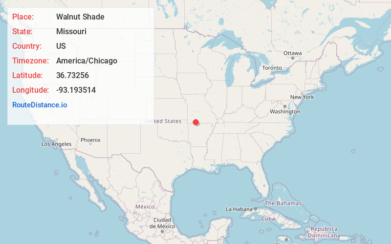
Walnut Shade
Missouri
US
America/Chicago
Location Information
-
Full AddressWalnut Shade, MO 65771
-
Coordinates36.7325602, -93.1935142
-
LocationWalnut Shade , Missouri , US
-
TimezoneAmerica/Chicago
-
Current Local Time12:04:31 AM America/ChicagoSunday, May 4, 2025
-
Page Views0
Directions to Nearest Cities
About Walnut Shade
Walnut Shade is an unincorporated community in Taney County, Missouri, United States. It is located approximately six miles northwest of Forsyth on U.S. Route 160. The town sits at the confluence of Bull and Bear Creeks. Walnut Shade is part of the Branson, Missouri Micropolitan Statistical Area.


Nearby Places
Found 10 places within 50 miles

Bull Creek
1.3 mi
2.1 km
Bull Creek, MO 65616
Get directions

Merriam Woods
1.8 mi
2.9 km
Merriam Woods, MO
Get directions

Rockaway Beach
3.0 mi
4.8 km
Rockaway Beach, MO
Get directions
Long Beach
3.9 mi
6.3 km
Long Beach, Scott Township, MO 65616
Get directions

Forsyth
5.2 mi
8.4 km
Forsyth, MO 65653
Get directions
Edgewater Beach
5.7 mi
9.2 km
Edgewater Beach, MO 65653
Get directions
Ozark Beach
5.9 mi
9.5 km
Ozark Beach, Swan Township, MO 65653
Get directions

Saddlebrooke
6.2 mi
10.0 km
Saddlebrooke, MO
Get directions
Day
6.2 mi
10.0 km
Day, Jasper Township, MO 65771
Get directions

Branson
6.3 mi
10.1 km
Branson, MO 65616
Get directions
Bull Creek
1.3 mi
2.1 km
Bull Creek, MO 65616
Merriam Woods
1.8 mi
2.9 km
Merriam Woods, MO
Rockaway Beach
3.0 mi
4.8 km
Rockaway Beach, MO
Long Beach
3.9 mi
6.3 km
Long Beach, Scott Township, MO 65616
Forsyth
5.2 mi
8.4 km
Forsyth, MO 65653
Edgewater Beach
5.7 mi
9.2 km
Edgewater Beach, MO 65653
Ozark Beach
5.9 mi
9.5 km
Ozark Beach, Swan Township, MO 65653
Saddlebrooke
6.2 mi
10.0 km
Saddlebrooke, MO
Day
6.2 mi
10.0 km
Day, Jasper Township, MO 65771
Branson
6.3 mi
10.1 km
Branson, MO 65616
Location Links
Local Weather
Weather Information
Coming soon!
Location Map
Static map view of Walnut Shade, Missouri
Browse Places by Distance
Places within specific distances from Walnut Shade
Short Distances
Long Distances
Click any distance to see all places within that range from Walnut Shade. Distances shown in miles (1 mile ≈ 1.61 kilometers).