Distance to Walsh Landing, California

Calculating Your Route
Just a moment while we process your request...
Location Information
-
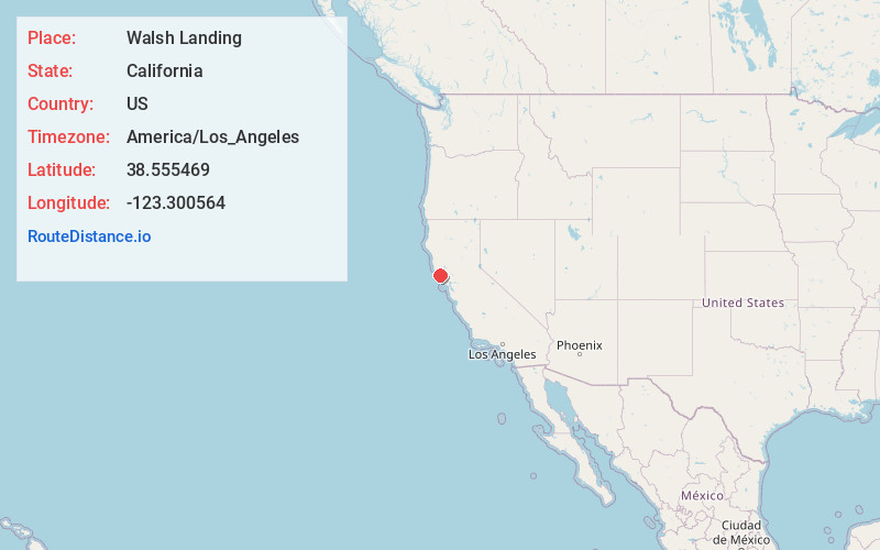
Full AddressWalsh Landing, CA 95450
-
Coordinates38.5554686, -123.3005639
-
LocationWalsh Landing , California , US
-
TimezoneAmerica/Los_Angeles
-
Current Local Time3:39:08 PM America/Los_AngelesFriday, June 20, 2025
-
Page Views0
Nearby Places
Found 10 places within 50 miles

Timber Cove
2.6 mi
4.2 km
Timber Cove, CA
Get directions

Annapolis
11.9 mi
19.2 km
Annapolis, CA 95412
Get directions

Goat Rock Beach
12.1 mi
19.5 km
Goat Rock Beach, Jenner, CA 95450
Get directions

Jenner
12.4 mi
20.0 km
Jenner, CA 95450
Get directions

Sea Ranch
14.0 mi
22.5 km
Sea Ranch, CA
Get directions

Duncans Mills
15.0 mi
24.1 km
Duncans Mills, CA 95450
Get directions
Sheridan
15.6 mi
25.1 km
Sheridan, CA 95462
Get directions

Monte Rio
16.8 mi
27.0 km
Monte Rio, CA
Get directions

Guerneville
16.8 mi
27.0 km
Guerneville, CA 95446
Get directions
Sereno del Mar
17.1 mi
27.5 km
Sereno del Mar, CA 94923
Get directions
Location Links
Local Weather
Weather Information
Coming soon!
Location Map
Static map view of Walsh Landing, California
Browse Places by Distance
Places within specific distances from Walsh Landing
Short Distances
Long Distances
Click any distance to see all places within that range from Walsh Landing. Distances shown in miles (1 mile ≈ 1.61 kilometers).