Distance to Walton, Oregon

Calculating Your Route
Just a moment while we process your request...
Location Information
-
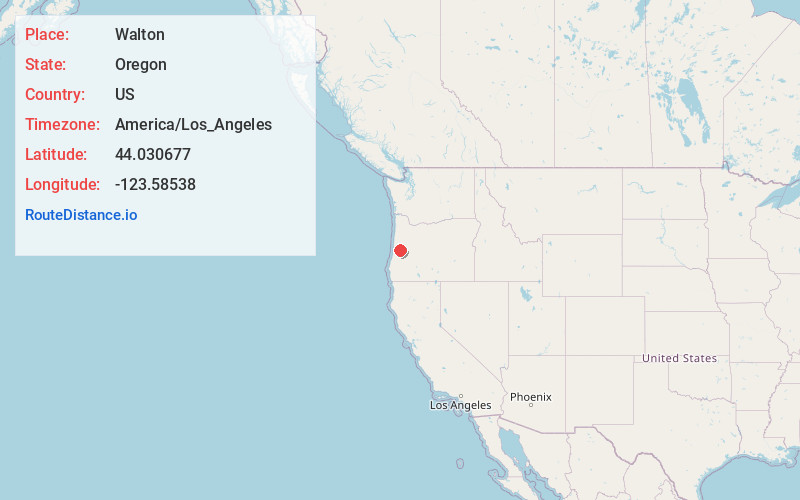
Full AddressWalton, OR 97490
-
Coordinates44.0306767, -123.5853798
-
LocationWalton , Oregon , US
-
TimezoneAmerica/Los_Angeles
-
Current Local Time3:59:36 PM America/Los_AngelesTuesday, June 3, 2025
-
Page Views0
About Walton
Walton is an unincorporated community in Lane County, Oregon, United States. It is located halfway between Eugene and Florence on Oregon Route 126.
Construction of Route 126 began in 1881, and after it crossed the Oregon Coast Range near Noti, it followed a tributary of the Siuslaw River named Walton Creek.
Nearby Places
Found 10 places within 50 miles

Linslaw
5.3 mi
8.5 km
Linslaw, OR 97490
Get directions
Greenleaf
7.0 mi
11.3 km
Greenleaf, OR 97412
Get directions
Vaughn
7.4 mi
11.9 km
Vaughn, OR 97487
Get directions

Triangle Lake
9.7 mi
15.6 km
Triangle Lake, OR 97412
Get directions

Deadwood
9.9 mi
15.9 km
Deadwood, OR 97430
Get directions

Swisshome
10.8 mi
17.4 km
Swisshome, OR 97480
Get directions
Alpha
10.9 mi
17.5 km
Alpha, OR 97430
Get directions
Alma
11.1 mi
17.9 km
Alma, OR 97487
Get directions

Blachly
11.6 mi
18.7 km
Blachly, OR 97412
Get directions

Veneta
11.7 mi
18.8 km
Veneta, OR 97487
Get directions
Location Links
Local Weather
Weather Information
Coming soon!
Location Map
Static map view of Walton, Oregon
Browse Places by Distance
Places within specific distances from Walton
Short Distances
Long Distances
Click any distance to see all places within that range from Walton. Distances shown in miles (1 mile ≈ 1.61 kilometers).