Distance to Wando, South Carolina

Calculating Your Route
Just a moment while we process your request...
Location Information
-
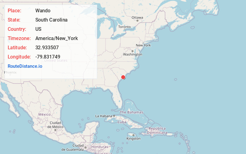
Full AddressWando, SC 29492
-
Coordinates32.9335065, -79.8317486
-
LocationWando , South Carolina , US
-
TimezoneAmerica/New_York
-
Current Local Time5:21:07 AM America/New_YorkWednesday, June 18, 2025
-
Page Views0


Nearby Places
Found 10 places within 50 miles

Philip
3.3 mi
5.3 km
Philip, SC 29466
Get directions
Ten Mile
6.0 mi
9.7 km
Ten Mile, Mt Pleasant, SC 29429
Get directions

Whitehall Terrace
6.4 mi
10.3 km
Whitehall Terrace, SC 29466
Get directions
Snowden
6.4 mi
10.3 km
Snowden, Mt Pleasant, SC 29464
Get directions

Palmetto Fort
7.9 mi
12.7 km
Palmetto Fort, Mt Pleasant, SC 29466
Get directions
Hagan
9.7 mi
15.6 km
Hagan, SC 29450
Get directions

Hanahan
9.9 mi
15.9 km
Hanahan, SC
Get directions
Berkeley Hills
10.1 mi
16.3 km
Berkeley Hills, Hanahan, SC 29410
Get directions

Mt Pleasant
10.2 mi
16.4 km
Mt Pleasant, SC
Get directions

Isle of Palms
10.2 mi
16.4 km
Isle of Palms, SC
Get directions
Location Links
Local Weather
Weather Information
Coming soon!
Location Map
Static map view of Wando, South Carolina
Browse Places by Distance
Places within specific distances from Wando
Short Distances
Long Distances
Click any distance to see all places within that range from Wando. Distances shown in miles (1 mile ≈ 1.61 kilometers).