Distance to Wares Wharf, Virginia

Calculating Your Route
Just a moment while we process your request...
Location Information
-
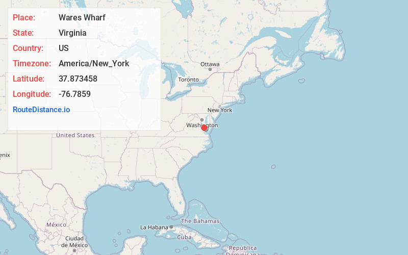
Full AddressWares Wharf, VA 22454
-
Coordinates37.8734577, -76.7858997
-
LocationWares Wharf , Virginia , US
-
TimezoneAmerica/New_York
-
Current Local Time2:15:57 AM America/New_YorkWednesday, June 18, 2025
-
Page Views0
About Wares Wharf
Wares Wharf is an unincorporated community in Essex County in the U.S. state of Virginia.
Nearby Places
Found 10 places within 50 miles

Dunnsville
2.1 mi
3.4 km
Dunnsville, VA 22454
Get directions
Richmond Beach
4.0 mi
6.4 km
Richmond Beach, VA 22560
Get directions
Center Cross
4.8 mi
7.7 km
Center Cross, VA 22437
Get directions
Cobham Park
5.1 mi
8.2 km
Cobham Park, VA 22572
Get directions

Tappahannock
5.4 mi
8.7 km
Tappahannock, VA 22560
Get directions
Emmerton
6.1 mi
9.8 km
Emmerton, VA 22572
Get directions

Warsaw
6.1 mi
9.8 km
Warsaw, VA 22572
Get directions
Henley Fork
6.2 mi
10.0 km
Henley Fork, VA 22560
Get directions
Howertons
6.4 mi
10.3 km
Howertons, VA 22454
Get directions
Pauls Crossroads
6.8 mi
10.9 km
Pauls Crossroads, VA 22560
Get directions
Location Links
Local Weather
Weather Information
Coming soon!
Location Map
Static map view of Wares Wharf, Virginia
Browse Places by Distance
Places within specific distances from Wares Wharf
Short Distances
Long Distances
Click any distance to see all places within that range from Wares Wharf. Distances shown in miles (1 mile ≈ 1.61 kilometers).