Distance to Washburn, Texas

Calculating Your Route
Just a moment while we process your request...
Location Information
-
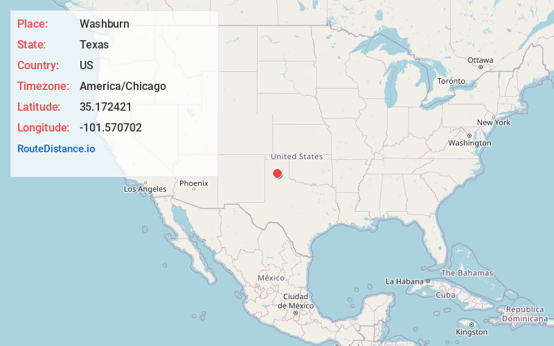
Full AddressWashburn, TX 79019
-
Coordinates35.172421, -101.570702
-
LocationWashburn , Texas , US
-
TimezoneAmerica/Chicago
-
Current Local Time6:51:48 PM America/ChicagoThursday, June 12, 2025
-
Page Views0
About Washburn
Washburn is an unincorporated community and census designated place in Armstrong County, Texas, United States. Washburn is part of the Amarillo Metropolitan Statistical Area.


Nearby Places
Found 10 places within 50 miles

Claude
12.4 mi
20.0 km
Claude, TX 79019
Get directions

Lake Tanglewood
14.2 mi
22.9 km
Lake Tanglewood, TX
Get directions

Amarillo
14.9 mi
24.0 km
Amarillo, TX
Get directions

Palisades
15.2 mi
24.5 km
Palisades, TX 79118
Get directions

Panhandle
16.1 mi
25.9 km
Panhandle, TX 79068
Get directions

Canyon
23.7 mi
38.1 km
Canyon, TX 79015
Get directions

Groom
26.3 mi
42.3 km
Groom, TX 79039
Get directions

Bushland
27.9 mi
44.9 km
Bushland, TX
Get directions

White Deer
28.9 mi
46.5 km
White Deer, TX 79097
Get directions

Fritch
32.4 mi
52.1 km
Fritch, TX 79036
Get directions
Location Links
Local Weather
Weather Information
Coming soon!
Location Map
Static map view of Washburn, Texas
Browse Places by Distance
Places within specific distances from Washburn
Short Distances
Long Distances
Click any distance to see all places within that range from Washburn. Distances shown in miles (1 mile ≈ 1.61 kilometers).