Distance to Wastedo, Minnesota

Calculating Your Route
Just a moment while we process your request...
Location Information
-
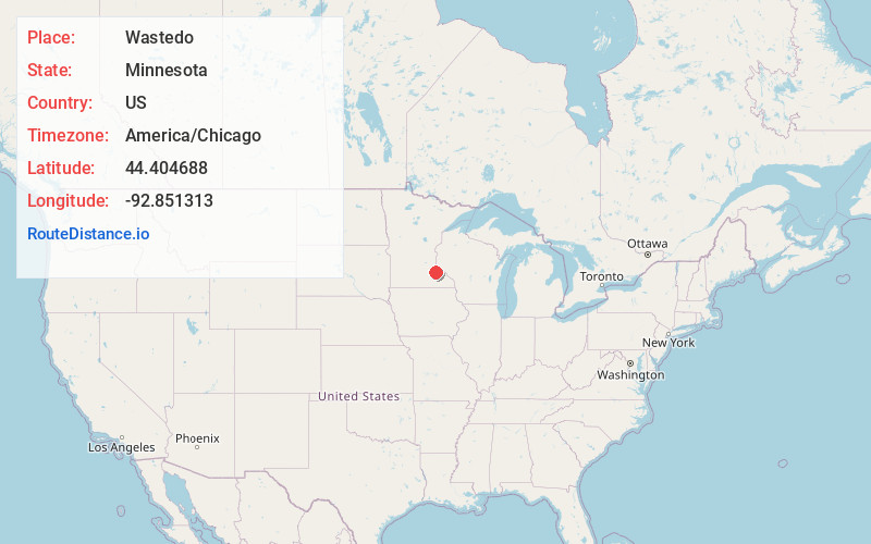
Full AddressWastedo, MN 55009
-
Coordinates44.404688, -92.851313
-
LocationWastedo , Minnesota , US
-
TimezoneAmerica/Chicago
-
Current Local Time12:46:45 AM America/ChicagoMonday, May 19, 2025
-
Page Views0
About Wastedo
Wastedo is an unincorporated community in Leon Township, Goodhue County, Minnesota, United States.
The community is located at the junction of U.S. Highway 52, 380th Street, and 90th Avenue.
Nearby places include Cannon Falls, Hader, and Zumbrota.
Wastedo was settled in 1856.
Nearby Places
Found 10 places within 50 miles

Cannon Falls
7.6 mi
12.2 km
Cannon Falls, MN 55009
Get directions

Wanamingo
7.6 mi
12.2 km
Wanamingo, MN 55983
Get directions

Dennison
9.3 mi
15.0 km
Dennison, MN 55018
Get directions

Goodhue
11.2 mi
18.0 km
Goodhue, MN 55027
Get directions

Kenyon
11.3 mi
18.2 km
Kenyon, MN 55946
Get directions

Nerstrand
11.5 mi
18.5 km
Nerstrand, MN 55053
Get directions

Zumbrota
11.8 mi
19.0 km
Zumbrota, MN 55992
Get directions

Randolph
11.8 mi
19.0 km
Randolph, MN
Get directions
Miesville
13.7 mi
22.0 km
Miesville, MN
Get directions

New Trier
14.2 mi
22.9 km
New Trier, MN 55031
Get directions
Location Links
Local Weather
Weather Information
Coming soon!
Location Map
Static map view of Wastedo, Minnesota
Browse Places by Distance
Places within specific distances from Wastedo
Short Distances
Long Distances
Click any distance to see all places within that range from Wastedo. Distances shown in miles (1 mile ≈ 1.61 kilometers).