Distance to Waterloo, Montana

Calculating Your Route
Just a moment while we process your request...
Location Information
-
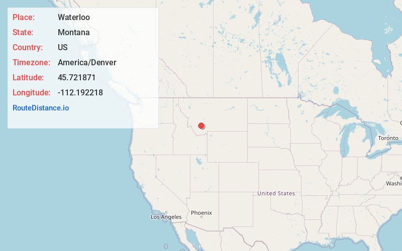
Full AddressWaterloo, MT 59759
-
Coordinates45.7218706, -112.1922181
-
LocationWaterloo , Montana , US
-
TimezoneAmerica/Denver
-
Current Local Time5:19:18 AM America/DenverFriday, May 23, 2025
-
Page Views0
About Waterloo
Waterloo is a one-road town located on the northern edge of Madison County, Montana, United States, on the Jefferson River. Waterloo is equidistant between Whitehall, Montana and Twin Bridges, Montana. Abutting the Tobacco Root Mountains, Waterloo has an elevation of 4,463 feet.
Nearby Places
Found 10 places within 50 miles

Silver Star
4.9 mi
7.9 km
Silver Star, MT
Get directions

Piedmont
8.4 mi
13.5 km
Piedmont, MT 59759
Get directions
Mammoth
9.2 mi
14.8 km
Mammoth, MT 59721
Get directions
Rader Creek
10.6 mi
17.1 km
Rader Creek, MT 59759
Get directions

Whitehall
11.1 mi
17.9 km
Whitehall, MT 59759
Get directions
Leiterville
12.0 mi
19.3 km
Leiterville, MT 59754
Get directions

Pipestone Hot Springs
12.1 mi
19.5 km
Pipestone Hot Springs, Montana 59759
Get directions

Pipestone
12.2 mi
19.6 km
Pipestone, MT 59759
Get directions

Twin Bridges
14.0 mi
22.5 km
Twin Bridges, MT 59754
Get directions
Summit Valley
14.8 mi
23.8 km
Summit Valley, MT 59721
Get directions
Location Links
Local Weather
Weather Information
Coming soon!
Location Map
Static map view of Waterloo, Montana
Browse Places by Distance
Places within specific distances from Waterloo
Short Distances
Long Distances
Click any distance to see all places within that range from Waterloo. Distances shown in miles (1 mile ≈ 1.61 kilometers).