Distance to Wayland, Missouri

Calculating Your Route
Just a moment while we process your request...
Location Information
-
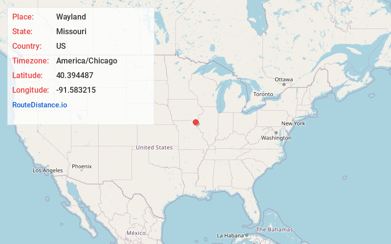
Full AddressWayland, MO 63472
-
Coordinates40.3944871, -91.5832149
-
LocationWayland , Missouri , US
-
TimezoneAmerica/Chicago
-
Current Local Time11:05:23 AM America/ChicagoThursday, June 19, 2025
-
Page Views0
About Wayland
Wayland is a city in Clark County, Missouri, United States. As of the 2020 census, its population was 408. It is part of the Fort Madison–Keokuk, IA-MO Micropolitan Statistical Area.

Nearby Places
Found 10 places within 50 miles

Kahoka
7.4 mi
11.9 km
Kahoka, MO 63445
Get directions

Warsaw
8.2 mi
13.2 km
Warsaw, IL 62379
Get directions

Keokuk
9.9 mi
15.9 km
Keokuk, IA 52632
Get directions

Hamilton
12.9 mi
20.8 km
Hamilton, IL
Get directions

Montrose
13.0 mi
20.9 km
Montrose, IA 52639
Get directions

Nauvoo
15.0 mi
24.1 km
Nauvoo, IL 62354
Get directions

Donnellson
17.2 mi
27.7 km
Donnellson, IA 52625
Get directions

Canton
18.6 mi
29.9 km
Canton, MO 63435
Get directions
Farmington
18.9 mi
30.4 km
Farmington, IA 52626
Get directions

Fort Madison
21.5 mi
34.6 km
Fort Madison, IA
Get directions
Location Links
Local Weather
Weather Information
Coming soon!
Location Map
Static map view of Wayland, Missouri
Browse Places by Distance
Places within specific distances from Wayland
Short Distances
Long Distances
Click any distance to see all places within that range from Wayland. Distances shown in miles (1 mile ≈ 1.61 kilometers).