Distance to Wayne National Forest - Athens Ranger District - Athens Unit, Ohio

Calculating Your Route
Just a moment while we process your request...
Location Information
-
Full AddressWayne National Forest - Athens Ranger District - Athens Unit, Coal Township, OH 43766
-
Coordinates39.5625695, -82.1873696
-
LocationCoal Township , Ohio , US
-
TimezoneAmerica/New_York
-
Current Local Time11:24:10 AM America/New_YorkFriday, May 30, 2025
-
Page Views0
About Wayne National Forest - Athens Ranger District - Athens Unit
Area in Wayne National Forest featuring trails used for hiking, horseback riding & ATVs.


Nearby Places
Found 10 places within 50 miles

Coalgate
1.8 mi
2.9 km
Coalgate, Ward Township, OH 43766
Get directions
Hemlock
2.5 mi
4.0 km
Hemlock, OH 43730
Get directions
Ludington
2.6 mi
4.2 km
Ludington, OH 43730
Get directions
Carrington
2.6 mi
4.2 km
Carrington, Salt Lick Township, OH 43730
Get directions
Blatchford
2.8 mi
4.5 km
Blatchford, Ward Township, OH 45732
Get directions

New Straitsville
2.9 mi
4.7 km
New Straitsville, OH 43766
Get directions

Shawnee
3.2 mi
5.1 km
Shawnee, OH
Get directions
Coal Township
3.7 mi
6.0 km
Coal Township, OH 43766
Get directions

Murray City
3.8 mi
6.1 km
Murray City, OH
Get directions
Drakes
3.9 mi
6.3 km
Drakes, Monroe Township, OH 43730
Get directions
Location Links
Local Weather
Weather Information
Coming soon!
Location Map
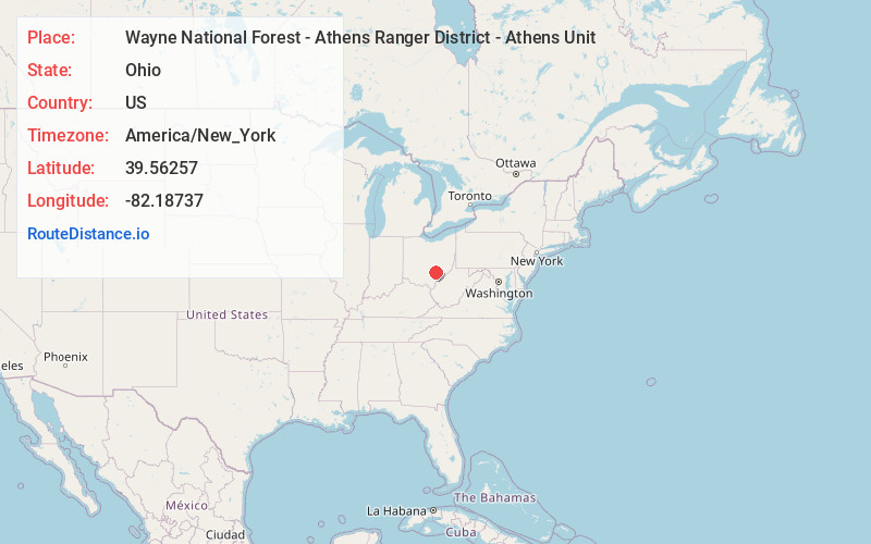
Static map view of Wayne National Forest - Athens Ranger District - Athens Unit, Ohio
Browse Places by Distance
Places within specific distances from Wayne National Forest - Athens Ranger District - Athens Unit
Short Distances
Long Distances
Click any distance to see all places within that range from Wayne National Forest - Athens Ranger District - Athens Unit. Distances shown in miles (1 mile ≈ 1.61 kilometers).