Distance to Webster, North Dakota

Calculating Your Route
Just a moment while we process your request...
Location Information
-
Full AddressWebster, ND
-
Coordinates48.2823698, -98.8785007
-
LocationWebster , North Dakota , US
-
TimezoneAmerica/Chicago
-
Current Local Time8:40:48 PM America/ChicagoTuesday, May 27, 2025
-
Page Views0
About Webster
Webster is an unincorporated community in central Ramsey County, North Dakota, United States. It lies along North Dakota Highway 20 north of the city of Devils Lake, the county seat of Ramsey County. Its elevation is 1,467 feet. it had a post office, with the ZIP code 58382.
Nearby Places
Found 10 places within 50 miles

Devils Lake
11.7 mi
18.8 km
Devils Lake, ND 58301
Get directions

Starkweather
11.7 mi
18.8 km
Starkweather, ND 58377
Get directions
Churchs Ferry
14.4 mi
23.2 km
Churchs Ferry, ND 58325
Get directions
Crary
18.3 mi
29.5 km
Crary, ND 58327
Get directions
Tilden
19.0 mi
30.6 km
Tilden, ND 58351
Get directions
Newville
19.7 mi
31.7 km
Newville, ND 58377
Get directions
Hampden
20.6 mi
33.2 km
Hampden, ND 58338
Get directions

Cando
20.7 mi
33.3 km
Cando, ND 58324
Get directions
Edmore
21.5 mi
34.6 km
Edmore, ND 58330
Get directions

Fort Totten
21.5 mi
34.6 km
Fort Totten, ND
Get directions
Location Links
Local Weather
Weather Information
Coming soon!
Location Map
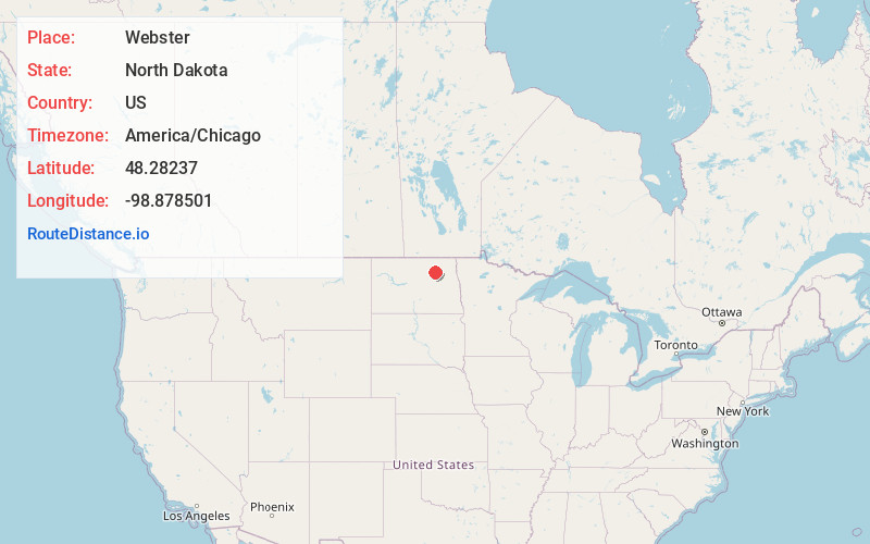
Static map view of Webster, North Dakota
Browse Places by Distance
Places within specific distances from Webster
Short Distances
Long Distances
Click any distance to see all places within that range from Webster. Distances shown in miles (1 mile ≈ 1.61 kilometers).