Distance to Webster County, Mississippi

Calculating Your Route
Just a moment while we process your request...
Location Information
-
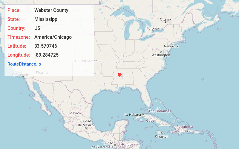
Full AddressWebster County, MS
-
Coordinates33.5707456, -89.2847251
-
LocationMississippi , US
-
TimezoneAmerica/Chicago
-
Current Local Time12:06:34 PM America/ChicagoFriday, June 20, 2025
-
Page Views0
About Webster County
Webster County is a county located in center of the U.S. state of Mississippi, bordered on the south by the Big Black River. As of the 2020 census, the population was 9,926.
The county was organized in 1874 during the Reconstruction era; the biracial legislature named it after Massachusetts statesman Daniel Webster.

Nearby Places
Found 10 places within 50 miles

Eupora
2.3 mi
3.7 km
Eupora, MS 39744
Get directions

Walthall
2.6 mi
4.2 km
Walthall, MS
Get directions
Bellefontaine
5.6 mi
9.0 km
Bellefontaine, MS 39737
Get directions

Tomnolen
7.4 mi
11.9 km
Tomnolen, MS 39744
Get directions
Embry
7.6 mi
12.2 km
Embry, MS 39744
Get directions

Fame
8.0 mi
12.9 km
Fame, MS 39744
Get directions

Pellez
8.6 mi
13.8 km
Pellez, MS 39744
Get directions
Clarkson
9.0 mi
14.5 km
Clarkson, MS 39752
Get directions

Mathiston
9.5 mi
15.3 km
Mathiston, MS 39752
Get directions
Wood Springs
10.1 mi
16.3 km
Wood Springs, MS 39744
Get directions
Location Links
Local Weather
Weather Information
Coming soon!
Location Map
Static map view of Webster County, Mississippi
Browse Places by Distance
Places within specific distances from Webster County
Short Distances
Long Distances
Click any distance to see all places within that range from Webster County. Distances shown in miles (1 mile ≈ 1.61 kilometers).