Distance to Weed, California

Calculating Your Route
Just a moment while we process your request...
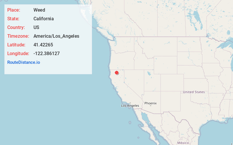
Location Information
-
Full AddressWeed, CA
-
Coordinates41.4226498, -122.3861269
-
LocationWeed , California , US
-
TimezoneAmerica/Los_Angeles
-
Current Local Time5:17:20 PM America/Los_AngelesWednesday, June 18, 2025
-
Website
-
Page Views0
About Weed
Weed is a city in Siskiyou County, California, United States. As of the 2020 Census, the city had a total population of 2,862, down from 2,967 in 2010. There are several unincorporated communities adjacent to, or just outside, Weed proper, including Edgewood, Carrick, and Lake Shastina.


Nearby Places
Found 2 places within 50 miles


Location Links
Local Weather
Weather Information
Coming soon!
Location Map
Static map view of Weed, California
Browse Places by Distance
Places within specific distances from Weed
Short Distances
Long Distances
Click any distance to see all places within that range from Weed. Distances shown in miles (1 mile ≈ 1.61 kilometers).