Distance to Weeds Point, California

Calculating Your Route
Just a moment while we process your request...
Location Information
-
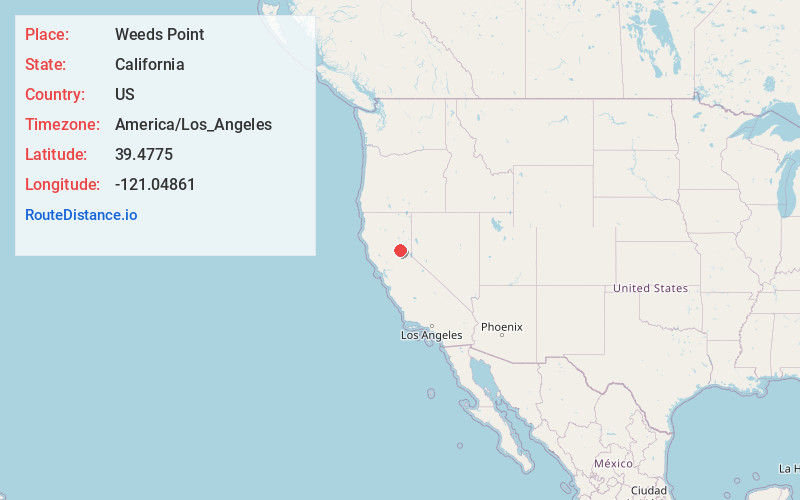
Full AddressWeeds Point, CA 95922
-
Coordinates39.4775, -121.04861
-
LocationWeeds Point , California , US
-
TimezoneAmerica/Los_Angeles
-
Current Local Time11:41:10 PM America/Los_AngelesThursday, June 19, 2025
-
Page Views0
Nearby Places
Found 10 places within 50 miles

Camptonville
1.8 mi
2.9 km
Camptonville, CA 95922
Get directions

Pike
4.4 mi
7.1 km
Pike, CA 95960
Get directions

Clipper Mills
7.2 mi
11.6 km
Clipper Mills, CA 95930
Get directions
North Star
7.7 mi
12.4 km
North Star, CA 95981
Get directions
Scales
8.9 mi
14.3 km
Scales, CA
Get directions
Goodyears Bar
9.8 mi
15.8 km
Goodyears Bar, CA 95944
Get directions

Lake City
10.0 mi
16.1 km
Lake City, CA 95959
Get directions

Dobbins
11.0 mi
17.7 km
Dobbins, CA
Get directions

North Bloomfield
11.0 mi
17.7 km
North Bloomfield, CA 95959
Get directions
Alleghany
11.0 mi
17.7 km
Alleghany, CA 95910
Get directions
Location Links
Local Weather
Weather Information
Coming soon!
Location Map
Static map view of Weeds Point, California
Browse Places by Distance
Places within specific distances from Weeds Point
Short Distances
Long Distances
Click any distance to see all places within that range from Weeds Point. Distances shown in miles (1 mile ≈ 1.61 kilometers).