Distance to Weir, Kentucky

Calculating Your Route
Just a moment while we process your request...
Location Information
-
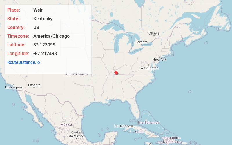
Full AddressWeir, KY 42345
-
Coordinates37.1230986, -87.2124977
-
LocationKentucky , US
-
TimezoneAmerica/Chicago
-
Current Local Time11:49:03 AM America/ChicagoThursday, June 19, 2025
-
Page Views0
About Weir
Weir is an unincorporated community located in Muhlenberg County, Kentucky, United States.
Nearby Places
Found 10 places within 50 miles

Greenville
5.7 mi
9.2 km
Greenville, KY
Get directions

Depoy
6.6 mi
10.6 km
Depoy, KY 42345
Get directions

Powderly
8.4 mi
13.5 km
Powderly, KY
Get directions

White Plains
10.3 mi
16.6 km
White Plains, KY 42464
Get directions

Beechmont
10.4 mi
16.7 km
Beechmont, KY
Get directions
Belton
10.5 mi
16.9 km
Belton, KY 42324
Get directions

Drakesboro
11.1 mi
17.9 km
Drakesboro, KY
Get directions
Cleaton
11.3 mi
18.2 km
Cleaton, KY
Get directions
Dunmor
12.4 mi
20.0 km
Dunmor, KY
Get directions

Central City
12.8 mi
20.6 km
Central City, KY 42330
Get directions
Location Links
Local Weather
Weather Information
Coming soon!
Location Map
Static map view of Weir, Kentucky
Browse Places by Distance
Places within specific distances from Weir
Short Distances
Long Distances
Click any distance to see all places within that range from Weir. Distances shown in miles (1 mile ≈ 1.61 kilometers).