Distance to Wells County, Indiana

Calculating Your Route
Just a moment while we process your request...
Location Information
-
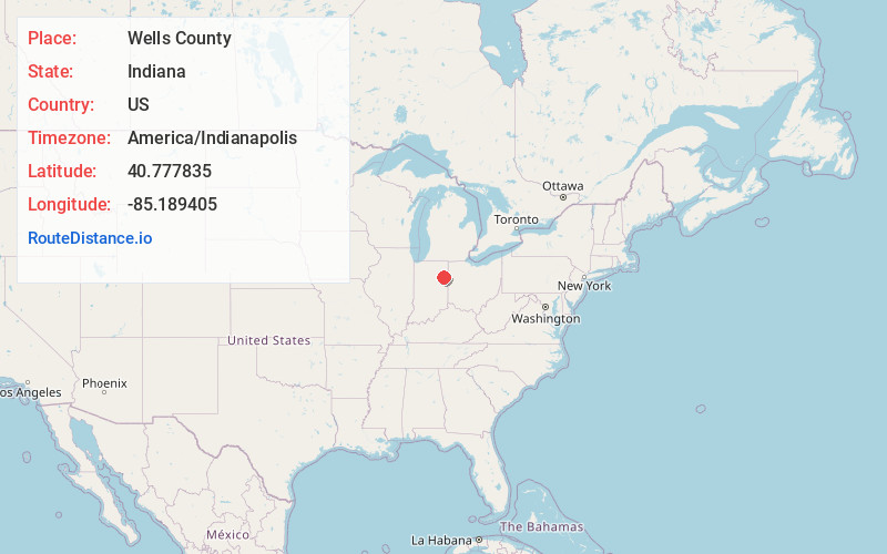
Full AddressWells County, IN
-
Coordinates40.7778348, -85.1894045
-
LocationIndiana , US
-
TimezoneAmerica/Indianapolis
-
Page Views0
About Wells County
Wells County is a county in the U.S. state of Indiana. As of the 2020 United States census, the population was 28,180. Its seat of government is Bluffton. Wells County is included in the Fort Wayne Metropolitan Statistical Area and the
Fort Wayne—Huntington—Auburn Combined Statistical Area.
Nearby Places
Found 10 places within 50 miles

Bluffton
2.9 mi
4.7 km
Bluffton, IN 46714
Get directions

Uniondale
4.6 mi
7.4 km
Uniondale, IN 46791
Get directions
Craigville
5.2 mi
8.4 km
Craigville, IN 46731
Get directions
Tocsin
5.5 mi
8.9 km
Tocsin, IN
Get directions

Ossian
7.2 mi
11.6 km
Ossian, IN 46777
Get directions
Liberty Center
7.2 mi
11.6 km
Liberty Center, IN 46766
Get directions
Vera Cruz
7.8 mi
12.6 km
Vera Cruz, IN 46714
Get directions

Markle
8.4 mi
13.5 km
Markle, IN 46770
Get directions
Poneto
8.5 mi
13.7 km
Poneto, IN 46781
Get directions
Preble
9.9 mi
15.9 km
Preble, IN 46733
Get directions
Location Links
Local Weather
Weather Information
Coming soon!
Location Map
Static map view of Wells County, Indiana
Browse Places by Distance
Places within specific distances from Wells County
Short Distances
Long Distances
Click any distance to see all places within that range from Wells County. Distances shown in miles (1 mile ≈ 1.61 kilometers).