Distance to Welton, Iowa

Calculating Your Route
Just a moment while we process your request...
Location Information
-
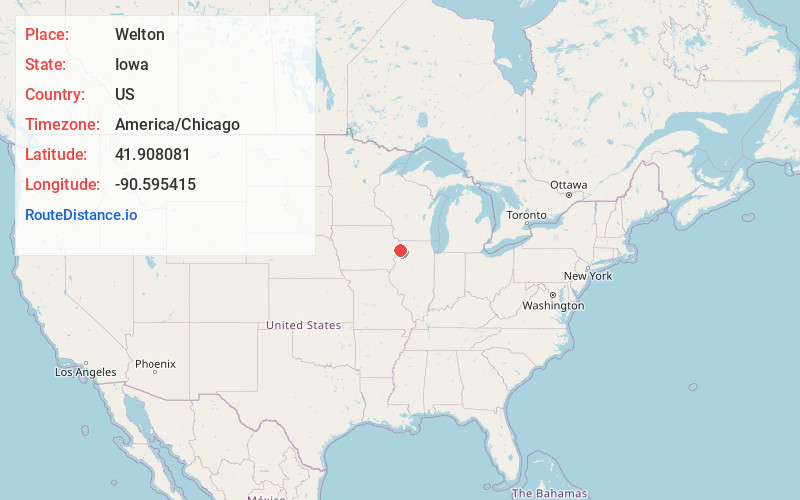
Full AddressWelton, IA
-
Coordinates41.9080812, -90.5954147
-
LocationWelton , Iowa , US
-
TimezoneAmerica/Chicago
-
Current Local Time12:35:56 PM America/ChicagoTuesday, June 24, 2025
-
Page Views0
About Welton
Welton is a city in Clinton County, Iowa, United States. The population was 121 at the time of the 2020 census.
The community is located adjacent to U.S. Route 61, which bypasses Welton just to the east of the city. Prior to the expansion of Highway 61 to a four-lane highway, it passed directly through the city.

Nearby Places
Found 10 places within 50 miles

Grand Mound
6.4 mi
10.3 km
Grand Mound, IA
Get directions

DeWitt
6.5 mi
10.5 km
DeWitt, IA 52742
Get directions

Delmar
6.5 mi
10.5 km
Delmar, IA
Get directions
Charlotte
7.6 mi
12.2 km
Charlotte, IA 52731
Get directions

Calamus
10.1 mi
16.3 km
Calamus, IA 52729
Get directions
Goose Lake
11.7 mi
18.8 km
Goose Lake, IA 52750
Get directions

Maquoketa
11.7 mi
18.8 km
Maquoketa, IA
Get directions

Lost Nation
12.1 mi
19.5 km
Lost Nation, IA 52254
Get directions

Wheatland
13.6 mi
21.9 km
Wheatland, IA 52777
Get directions

McCausland
13.7 mi
22.0 km
McCausland, IA
Get directions
Location Links
Local Weather
Weather Information
Coming soon!
Location Map
Static map view of Welton, Iowa
Browse Places by Distance
Places within specific distances from Welton
Short Distances
Long Distances
Click any distance to see all places within that range from Welton. Distances shown in miles (1 mile ≈ 1.61 kilometers).