Distance to Wendel, California

Calculating Your Route
Just a moment while we process your request...
Location Information
-
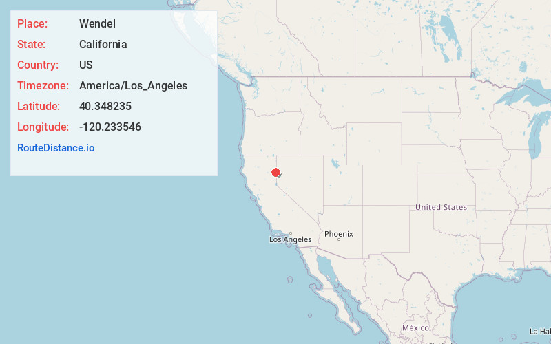
Full AddressWendel, CA 96136
-
Coordinates40.3482346, -120.2335461
-
LocationWendel , California , US
-
TimezoneAmerica/Los_Angeles
-
Current Local Time1:38:51 AM America/Los_AngelesSunday, June 1, 2025
-
Page Views0
About Wendel
Wendel is an unincorporated community in Lassen County, California. It is located 23 miles east-southeast of Susanville, at an elevation of 4012 feet. Wendel's ZIP Code is 96136.
The Wendel post office opened in 1915, closed in 1920, and re-opened in 1921.

Nearby Places
Found 10 places within 50 miles

Litchfield
8.4 mi
13.5 km
Litchfield, CA
Get directions

Milford
14.3 mi
23.0 km
Milford, CA 96121
Get directions

Karlo
14.6 mi
23.5 km
Karlo, CA 96117
Get directions
Patton Village
14.8 mi
23.8 km
Patton Village, CA
Get directions

Herlong
15.0 mi
24.1 km
Herlong, CA 96113
Get directions

Janesville
16.7 mi
26.9 km
Janesville, CA
Get directions
Johnstonville
19.0 mi
30.6 km
Johnstonville, CA 96130
Get directions

Susanville
22.6 mi
36.4 km
Susanville, CA
Get directions

Doyle
23.2 mi
37.3 km
Doyle, CA 96109
Get directions
Horse Lake Mountain
23.6 mi
38.0 km
Horse Lake Mountain, California 96130
Get directions
Location Links
Local Weather
Weather Information
Coming soon!
Location Map
Static map view of Wendel, California
Browse Places by Distance
Places within specific distances from Wendel
Short Distances
Long Distances
Click any distance to see all places within that range from Wendel. Distances shown in miles (1 mile ≈ 1.61 kilometers).