Distance to Wenham, Massachusetts

Calculating Your Route
Just a moment while we process your request...
Location Information
-
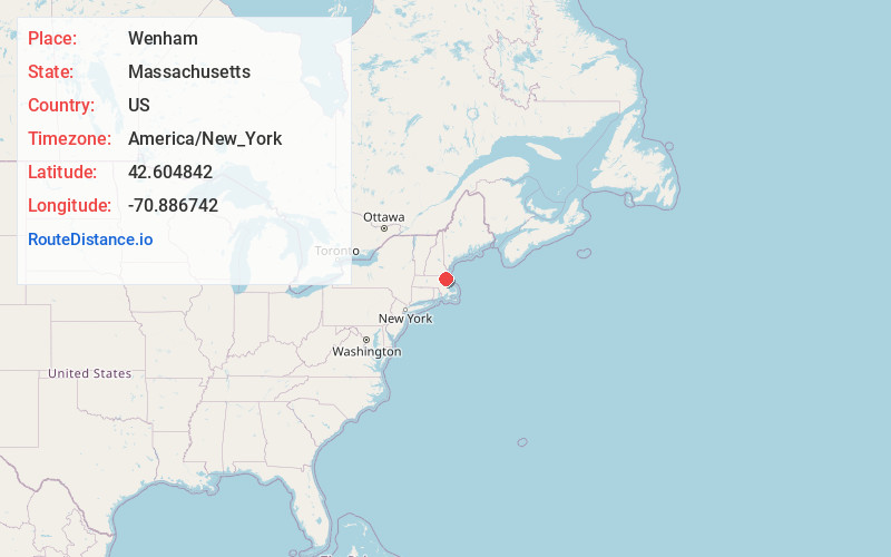
Full AddressWenham, MA 01984
-
Coordinates42.6048415, -70.8867421
-
LocationWenham , Massachusetts , US
-
TimezoneAmerica/New_York
-
Current Local Time10:10:29 PM America/New_YorkMonday, June 23, 2025
-
Page Views0
About Wenham
Wenham is a town in Essex County, Massachusetts. The population was 4,979 at the time of the 2020 census.
The town of Wenham was settled in 1635 and incorporated in 1643, and is closely tied to its neighboring town of Hamilton, sharing a school system, library, recreation department and commuter rail station.


Nearby Places
Found 10 places within 50 miles

Danvers
3.1 mi
5.0 km
Danvers, MA 01923
Get directions

Hamilton
3.1 mi
5.0 km
Hamilton, MA
Get directions

Beverly
3.2 mi
5.1 km
Beverly, MA
Get directions

Topsfield
4.1 mi
6.6 km
Topsfield, MA 01983
Get directions

Ipswich
5.8 mi
9.3 km
Ipswich, MA
Get directions

Peabody
5.8 mi
9.3 km
Peabody, MA 01960
Get directions

Salem
5.9 mi
9.5 km
Salem, MA
Get directions

Manchester-by-the-Sea
6.3 mi
10.1 km
Manchester-by-the-Sea, MA
Get directions

Boxford
6.8 mi
10.9 km
Boxford, MA
Get directions

Marblehead
7.4 mi
11.9 km
Marblehead, MA
Get directions
Location Links
Local Weather
Weather Information
Coming soon!
Location Map
Static map view of Wenham, Massachusetts
Browse Places by Distance
Places within specific distances from Wenham
Short Distances
Long Distances
Click any distance to see all places within that range from Wenham. Distances shown in miles (1 mile ≈ 1.61 kilometers).