Distance to Werley, Wisconsin

Calculating Your Route
Just a moment while we process your request...
Location Information
-
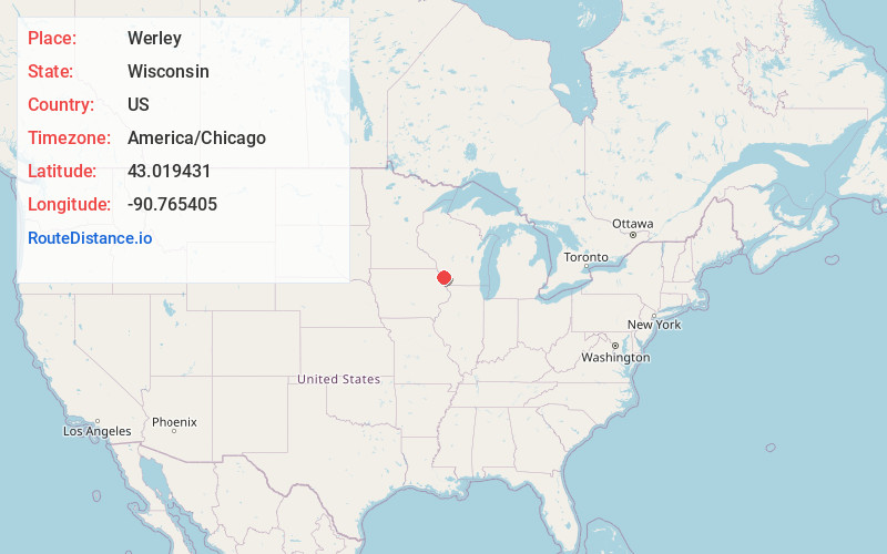
Full AddressWerley, WI 53809
-
Coordinates43.0194308, -90.7654045
-
LocationWerley , Wisconsin , US
-
TimezoneAmerica/Chicago
-
Current Local Time6:02:41 PM America/ChicagoFriday, June 20, 2025
-
Page Views0
About Werley
Werley is an unincorporated community in the town of Mount Ida, Grant County, Wisconsin, United States, at latitude 43.019 and longitude -90.765, where Star Lane feeds into County Road K, roughly five miles west-northwest of Fennimore.
Nearby Places
Found 10 places within 50 miles

Shady Dell
4.4 mi
7.1 km
Shady Dell, Mt Hope, WI 53816
Get directions

Woodman
5.2 mi
8.4 km
Woodman, WI
Get directions

Mt Hope
6.0 mi
9.7 km
Mt Hope, WI 53816
Get directions

Fennimore
6.1 mi
9.8 km
Fennimore, WI 53809
Get directions

Boydtown
6.6 mi
10.6 km
Boydtown, Marietta, WI 53826
Get directions

Wauzeka
7.5 mi
12.1 km
Wauzeka, WI 53826
Get directions
Hickory Grove
8.3 mi
13.4 km
Hickory Grove, WI
Get directions
Millville
8.4 mi
13.5 km
Millville, WI 53816
Get directions

Boscobel
8.5 mi
13.7 km
Boscobel, WI 53805
Get directions
Easter Rock
9.4 mi
15.1 km
Easter Rock, Marietta, WI 53805
Get directions
Location Links
Local Weather
Weather Information
Coming soon!
Location Map
Static map view of Werley, Wisconsin
Browse Places by Distance
Places within specific distances from Werley
Short Distances
Long Distances
Click any distance to see all places within that range from Werley. Distances shown in miles (1 mile ≈ 1.61 kilometers).