Distance to West Augusta, Virginia

Calculating Your Route
Just a moment while we process your request...
Location Information
-
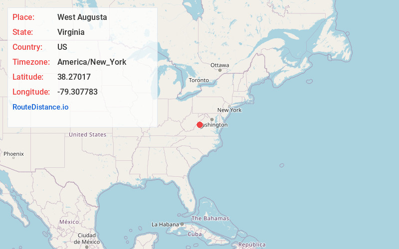
Full AddressWest Augusta, VA 24485
-
Coordinates38.2701695, -79.3077829
-
LocationWest Augusta , Virginia , US
-
TimezoneAmerica/New_York
-
Current Local Time9:42:20 PM America/New_YorkMonday, June 2, 2025
-
Page Views0
About West Augusta
West Augusta is an unincorporated community in Augusta County, Virginia, United States. West Augusta is located at the intersection of U.S. Route 250 and Virginia State Route 629. The source of the Calfpasture River, which flows through West Augusta, is located near the community to the north.


Nearby Places
Found 10 places within 50 miles

Deerfield
7.4 mi
11.9 km
Deerfield, VA 24432
Get directions

Churchville
8.5 mi
13.7 km
Churchville, VA 24421
Get directions

Swoope
9.5 mi
15.3 km
Swoope, VA 24479
Get directions

Mt Elliott Springs
10.0 mi
16.1 km
Mt Elliott Springs, VA 24479
Get directions
Parnassus
10.4 mi
16.7 km
Parnassus, VA 22843
Get directions
Trimbles Mill
10.5 mi
16.9 km
Trimbles Mill, VA 24479
Get directions

McDowell
10.9 mi
17.5 km
McDowell, VA 24458
Get directions
Palo Alto
11.1 mi
17.9 km
Palo Alto, VA 24485
Get directions
Augusta Springs
11.6 mi
18.7 km
Augusta Springs, VA 24430
Get directions
Patna
12.0 mi
19.3 km
Patna, VA 24487
Get directions
Location Links
Local Weather
Weather Information
Coming soon!
Location Map
Static map view of West Augusta, Virginia
Browse Places by Distance
Places within specific distances from West Augusta
Short Distances
Long Distances
Click any distance to see all places within that range from West Augusta. Distances shown in miles (1 mile ≈ 1.61 kilometers).