Distance to Palo Alto, Virginia

Calculating Your Route
Just a moment while we process your request...
Location Information
-
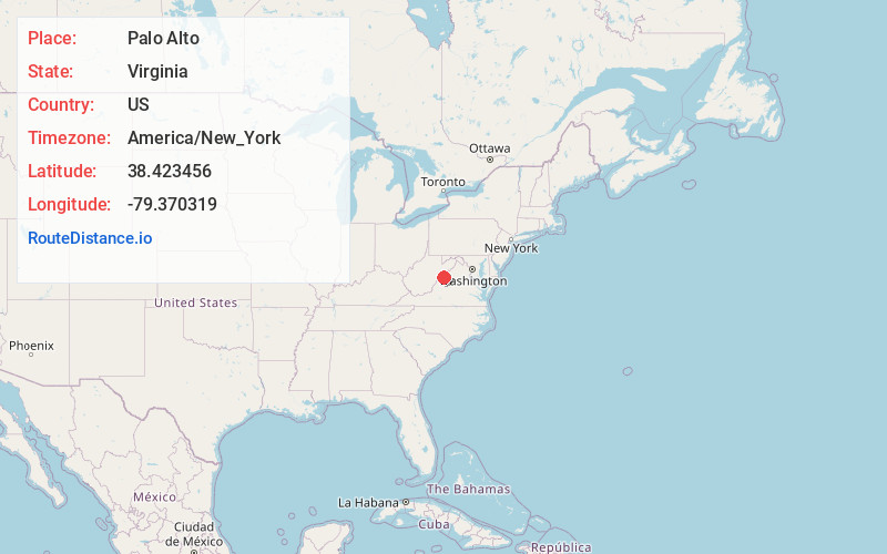
Full AddressPalo Alto, VA 24485
-
Coordinates38.4234558, -79.3703192
-
LocationVirginia , US
-
TimezoneAmerica/New_York
-
Current Local Time10:03:33 AM America/New_YorkThursday, June 19, 2025
-
Page Views0
About Palo Alto
Palo Alto is an unincorporated community in Highland County, Virginia, United States. Palo Alto is located 11.4 miles east-northeast of Monterey, Virginia on the South Fork South Branch Potomac River.
Nearby Places
Found 10 places within 50 miles

Mitchell Mountain
7.9 mi
12.7 km
Mitchell Mountain, West Virginia 26802
Get directions

McDowell
8.9 mi
14.3 km
McDowell, VA 24458
Get directions

Monterey
11.4 mi
18.3 km
Monterey, VA 24465
Get directions
Zigler
13.3 mi
21.4 km
Zigler, WV 26807
Get directions
Vanderpool
14.3 mi
23.0 km
Vanderpool, VA 24465
Get directions

Franklin
15.3 mi
24.6 km
Franklin, WV 26807
Get directions
Brandywine
15.5 mi
24.9 km
Brandywine, WV 26802
Get directions

Deerfield
15.8 mi
25.4 km
Deerfield, VA 24432
Get directions

Churchville
17.7 mi
28.5 km
Churchville, VA 24421
Get directions
Ruddle
20.3 mi
32.7 km
Ruddle, WV 26807
Get directions
Location Links
Local Weather
Weather Information
Coming soon!
Location Map
Static map view of Palo Alto, Virginia
Browse Places by Distance
Places within specific distances from Palo Alto
Short Distances
Long Distances
Click any distance to see all places within that range from Palo Alto. Distances shown in miles (1 mile ≈ 1.61 kilometers).