Distance to Vanderpool, Virginia
Location Information
-
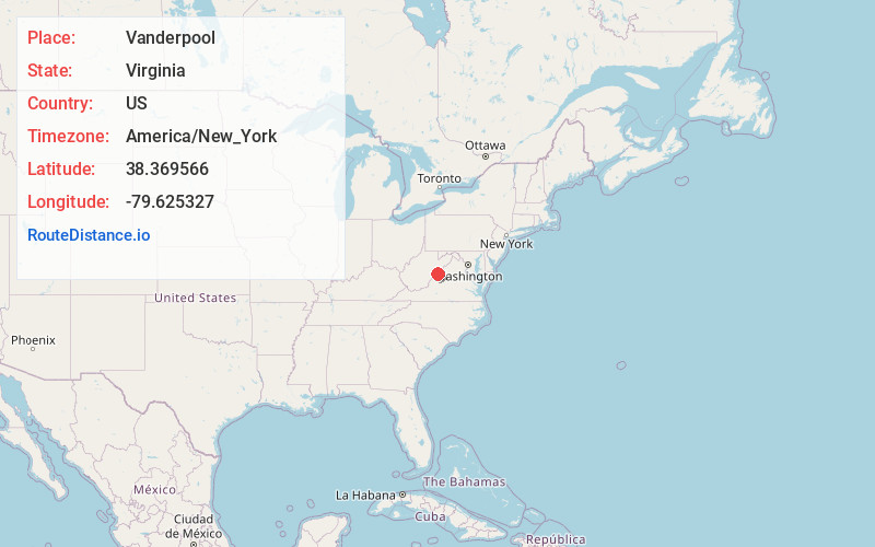
Full AddressVanderpool, VA 24465
-
Coordinates38.3695657, -79.6253269
-
LocationVirginia , US
-
TimezoneAmerica/New_York
-
Current Local Time9:26:28 AM America/New_YorkSaturday, May 17, 2025
-
Page Views0
About Vanderpool
Vanderpool is an unincorporated community in Highland County, Virginia, United States. Vanderpool is located 3.8 miles south-southwest of Monterey, Virginia at the junction of Virginia State Route 84 and U.S. Route 220. The community is situated near Vanderpool Gap, through which the Jackson River flows.
Nearby Places
Found 10 places within 50 miles

Monterey
3.8 mi
6.1 km
Monterey, VA 24465
Get directions

McDowell
7.7 mi
12.4 km
McDowell, VA 24458
Get directions

Arbovale
11.4 mi
18.3 km
Arbovale, WV 24915
Get directions

Green Bank
11.7 mi
18.8 km
Green Bank, WV
Get directions

Bartow
14.6 mi
23.5 km
Bartow, WV 24920
Get directions

Frank
15.8 mi
25.4 km
Frank, WV
Get directions

Durbin
16.3 mi
26.2 km
Durbin, WV 26264
Get directions

Deerfield
16.8 mi
27.0 km
Deerfield, VA 24432
Get directions


Leaflet © OpenStreetMap contributors
Location Links
Local Weather
Weather Information
Coming soon!
Location Map
Static map view of Vanderpool, Virginia
Browse Places by Distance
Places within specific distances from Vanderpool
Short Distances
Long Distances
Click any distance to see all places within that range from Vanderpool. Distances shown in miles (1 mile ≈ 1.61 kilometers).