Distance to West Bend, Alabama

Calculating Your Route
Just a moment while we process your request...
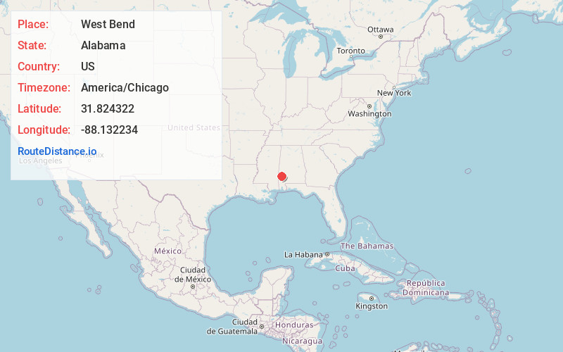
Location Information
-
Full AddressWest Bend, AL 36524
-
Coordinates31.824322, -88.1322336
-
LocationWest Bend , Alabama , US
-
TimezoneAmerica/Chicago
-
Current Local Time5:12:51 PM America/ChicagoFriday, May 23, 2025
-
Page Views0
Nearby Places
Found 10 places within 50 miles

Womack Hill
3.9 mi
6.3 km
Womack Hill, AL 36908
Get directions
Coffeeville
5.2 mi
8.4 km
Coffeeville, AL 36524
Get directions
Cunningham
6.2 mi
10.0 km
Cunningham, AL 36727
Get directions
Thornton Springs
7.3 mi
11.7 km
Thornton Springs, AL 36908
Get directions
Bladon Springs
7.5 mi
12.1 km
Bladon Springs, AL 36919
Get directions
Smyer
7.7 mi
12.4 km
Smyer, AL 36727
Get directions
Lou
8.0 mi
12.9 km
Lou, AL 36908
Get directions
Tattlersville
8.9 mi
14.3 km
Tattlersville, AL 36524
Get directions
Wimbly
9.3 mi
15.0 km
Wimbly, AL 36921
Get directions
McEntyre
9.8 mi
15.8 km
McEntyre, AL 36524
Get directions
Location Links
Local Weather
Weather Information
Coming soon!
Location Map
Static map view of West Bend, Alabama
Browse Places by Distance
Places within specific distances from West Bend
Short Distances
Long Distances
Click any distance to see all places within that range from West Bend. Distances shown in miles (1 mile ≈ 1.61 kilometers).