Distance to West Clarksfield, Ohio

Calculating Your Route
Just a moment while we process your request...
Location Information
-
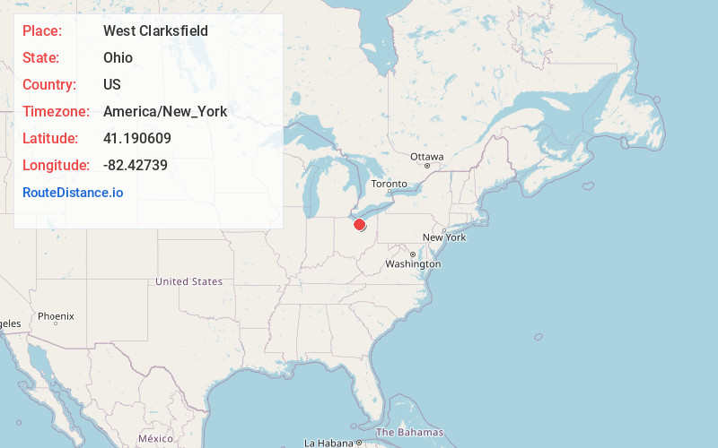
Full AddressWest Clarksfield, OH 44889
-
Coordinates41.1906086, -82.4273903
-
LocationWest Clarksfield , Ohio , US
-
TimezoneAmerica/New_York
-
Current Local Time12:01:40 PM America/New_YorkMonday, May 19, 2025
-
Page Views0
About West Clarksfield
Clarksfield is an unincorporated community in the northwestern portion of Clarksfield Township, Huron County, Ohio, United States. It lies along State Route 18 midway between Norwalk and Wellington, and along State Route 60 between New London and Wakeman. The Vermilion River flows northward through Clarksfield.
Nearby Places
Found 10 places within 50 miles

Clarksfield Township
1.6 mi
2.6 km
Clarksfield Township, OH
Get directions
Hartland
3.5 mi
5.6 km
Hartland, OH 44857
Get directions
Hartland Station
3.6 mi
5.8 km
Hartland Station, Hartland Township, OH 44857
Get directions
White Fox
3.9 mi
6.3 km
White Fox, OH 44889
Get directions

Wakeman
4.6 mi
7.4 km
Wakeman, OH 44889
Get directions
Collins
5.8 mi
9.3 km
Collins, OH
Get directions
Brighton
6.3 mi
10.1 km
Brighton, OH 44090
Get directions
Olena
6.4 mi
10.3 km
Olena, OH 44857
Get directions

New London
7.4 mi
11.9 km
New London, OH 44851
Get directions
Rochester
7.8 mi
12.6 km
Rochester, OH 44090
Get directions
Location Links
Local Weather
Weather Information
Coming soon!
Location Map
Static map view of West Clarksfield, Ohio
Browse Places by Distance
Places within specific distances from West Clarksfield
Short Distances
Long Distances
Click any distance to see all places within that range from West Clarksfield. Distances shown in miles (1 mile ≈ 1.61 kilometers).