Distance to West Cook, Minnesota

Calculating Your Route
Just a moment while we process your request...
Location Information
-
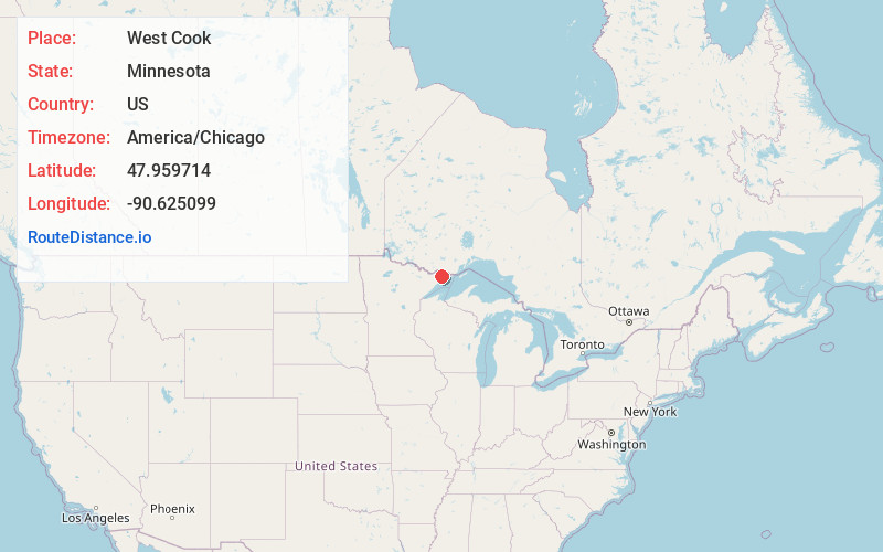
Full AddressWest Cook, MN
-
Coordinates47.9597137, -90.6250994
-
LocationWest Cook , Minnesota , US
-
TimezoneAmerica/Chicago
-
Current Local Time7:37:21 PM America/ChicagoThursday, June 5, 2025
-
Page Views0
About West Cook
West Cook is an unorganized territory in Cook County, Minnesota, United States. The population is 1,848 in 2024.


Nearby Places
Found 10 places within 50 miles

Maple Hill
18.2 mi
29.3 km
Maple Hill, MN 55604
Get directions

East Cook
19.3 mi
31.1 km
East Cook, MN
Get directions

Grand Marais
19.8 mi
31.9 km
Grand Marais, MN 55604
Get directions
Bowstring Lake
20.1 mi
32.3 km
Bowstring Lake, Fall Lake Township, MN 55731
Get directions
Chippewa City
20.4 mi
32.8 km
Chippewa City, MN 55604
Get directions
Croftville
21.1 mi
34.0 km
Croftville, MN 55604
Get directions

Lutsen
21.8 mi
35.1 km
Lutsen, MN
Get directions

Tofte
28.4 mi
45.7 km
Tofte, MN 55615
Get directions

Schroeder
31.5 mi
50.7 km
Schroeder, MN
Get directions

Taconite Harbor
33.1 mi
53.3 km
Taconite Harbor, MN 55613
Get directions
Location Links
Local Weather
Weather Information
Coming soon!
Location Map
Static map view of West Cook, Minnesota
Browse Places by Distance
Places within specific distances from West Cook
Short Distances
Long Distances
Click any distance to see all places within that range from West Cook. Distances shown in miles (1 mile ≈ 1.61 kilometers).