Distance to West Hopkinton, New Hampshire

Calculating Your Route
Just a moment while we process your request...
Location Information
-
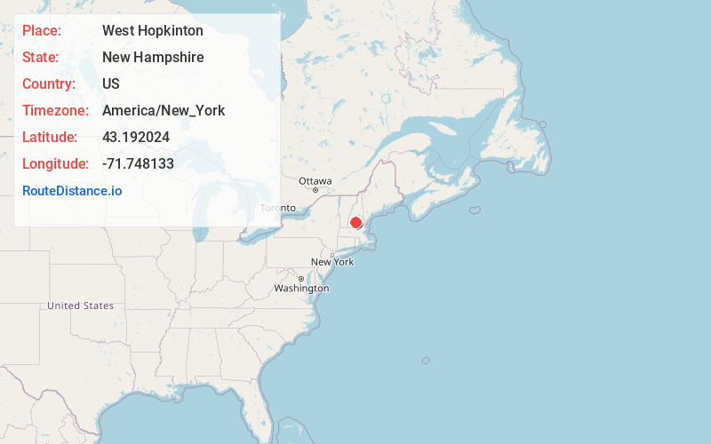
Full AddressWest Hopkinton, Hopkinton, NH 03229
-
Coordinates43.1920236, -71.7481327
-
LocationHopkinton , New Hampshire , US
-
TimezoneAmerica/New_York
-
Current Local Time11:19:49 PM America/New_YorkMonday, June 2, 2025
-
Page Views0
Nearby Places
Found 10 places within 50 miles

Hopkinton
2.9 mi
4.7 km
Hopkinton, NH 03229
Get directions

Henniker
3.8 mi
6.1 km
Henniker, NH
Get directions

Davisville
4.2 mi
6.8 km
Davisville, Warner, NH 03303
Get directions
West Henniker Emerson Station
5.0 mi
8.0 km
West Henniker Emerson Station, Henniker, NH 03242
Get directions

Blackwater River
5.5 mi
8.9 km
Blackwater River, New Hampshire
Get directions

Warner
6.1 mi
9.8 km
Warner, NH
Get directions

Weare
6.8 mi
10.9 km
Weare, NH 03281
Get directions
Swetts Mills
8.6 mi
13.8 km
Swetts Mills, Webster, NH 03303
Get directions

Dunbarton
9.1 mi
14.6 km
Dunbarton, NH 03046
Get directions

Hillsborough
9.1 mi
14.6 km
Hillsborough, NH
Get directions
Location Links
Local Weather
Weather Information
Coming soon!
Location Map
Static map view of West Hopkinton, New Hampshire
Browse Places by Distance
Places within specific distances from West Hopkinton
Short Distances
Long Distances
Click any distance to see all places within that range from West Hopkinton. Distances shown in miles (1 mile ≈ 1.61 kilometers).