Distance to West Laurel, Maryland

Calculating Your Route
Just a moment while we process your request...
Location Information
-
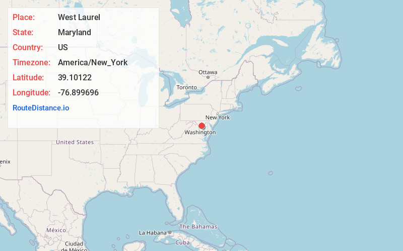
Full AddressWest Laurel, MD
-
Coordinates39.1012195, -76.8996964
-
LocationWest Laurel , Maryland , US
-
TimezoneAmerica/New_York
-
Current Local Time11:05:03 AM America/New_YorkSaturday, June 7, 2025
-
Page Views0
About West Laurel
West Laurel is an unincorporated area and census-designated place in Prince George's County, Maryland, United States. Per the 2020 census, the population was 4,428.


Nearby Places
Found 10 places within 50 miles

Burtonsville
1.9 mi
3.1 km
Burtonsville, MD
Get directions

Laurel
2.8 mi
4.5 km
Laurel, MD
Get directions

North Laurel
3.0 mi
4.8 km
North Laurel, MD
Get directions
South Laurel
3.4 mi
5.5 km
South Laurel, MD
Get directions

Fairland
3.6 mi
5.8 km
Fairland, MD
Get directions
Calverton
3.6 mi
5.8 km
Calverton, MD
Get directions

Fulton
3.7 mi
6.0 km
Fulton, MD
Get directions

Maryland City
4.4 mi
7.1 km
Maryland City, MD 20724
Get directions

Beltsville
4.6 mi
7.4 km
Beltsville, MD
Get directions

Cloverly
5.2 mi
8.4 km
Cloverly, MD
Get directions
Location Links
Local Weather
Weather Information
Coming soon!
Location Map
Static map view of West Laurel, Maryland
Browse Places by Distance
Places within specific distances from West Laurel
Short Distances
Long Distances
Click any distance to see all places within that range from West Laurel. Distances shown in miles (1 mile ≈ 1.61 kilometers).