Distance to Laurel, Maryland

Calculating Your Route
Just a moment while we process your request...
Location Information
-
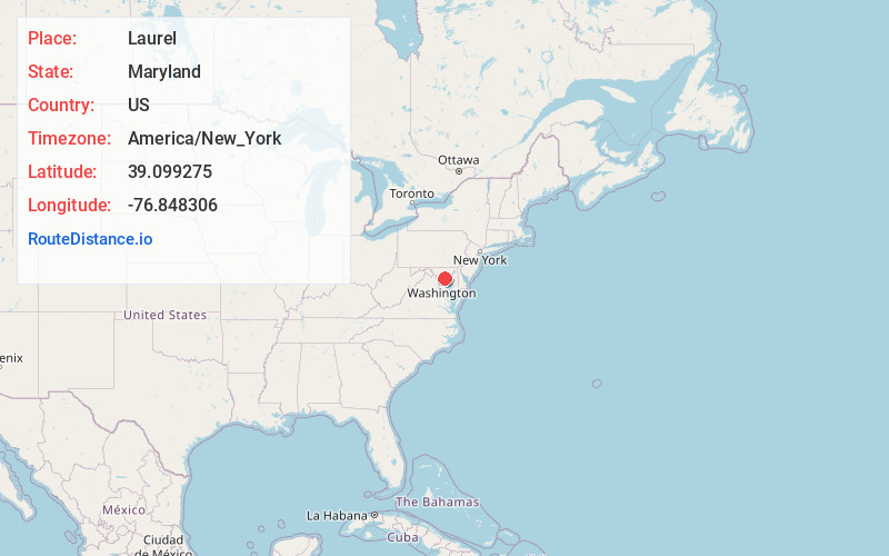
Full AddressLaurel, MD
-
Coordinates39.0992752, -76.8483061
-
LocationLaurel , Maryland , US
-
TimezoneAmerica/New_York
-
Current Local Time10:30:29 PM America/New_YorkTuesday, June 3, 2025
-
Website
-
Page Views0
About Laurel
Laurel is a city in Maryland, United States, located midway between Washington, D.C., and Baltimore on the banks of the Patuxent River, in northern Prince George's County. Its population was 30,060 at the 2020 census.


Nearby Places
Found 10 places within 50 miles

South Laurel
2.0 mi
3.2 km
South Laurel, MD
Get directions

Columbia
7.2 mi
11.6 km
Columbia, MD
Get directions

Bowie
7.4 mi
11.9 km
Bowie, MD
Get directions

Odenton
8.0 mi
12.9 km
Odenton, MD
Get directions

Severn
8.5 mi
13.7 km
Severn, MD
Get directions

College Park
9.0 mi
14.5 km
College Park, MD
Get directions

Ellicott City
11.9 mi
19.2 km
Ellicott City, MD
Get directions

Chillum
12.1 mi
19.5 km
Chillum, MD
Get directions

Aspen Hill
12.1 mi
19.5 km
Aspen Hill, MD
Get directions

Silver Spring
12.1 mi
19.5 km
Silver Spring, MD
Get directions
Location Links
Local Weather
Weather Information
Coming soon!
Location Map
Static map view of Laurel, Maryland
Browse Places by Distance
Places within specific distances from Laurel
Short Distances
Long Distances
Click any distance to see all places within that range from Laurel. Distances shown in miles (1 mile ≈ 1.61 kilometers).