Distance to West Leyden, New York

Calculating Your Route
Just a moment while we process your request...
Location Information
-
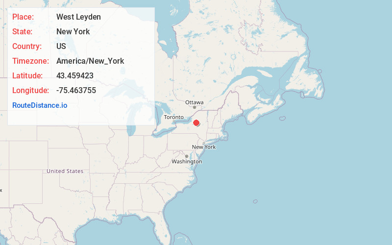
Full AddressWest Leyden, NY 13489
-
Coordinates43.4594233, -75.4637554
-
LocationWest Leyden , New York , US
-
TimezoneAmerica/New_York
-
Current Local Time12:58:31 AM America/New_YorkFriday, June 20, 2025
-
Page Views0
About West Leyden
West Leyden is a hamlet in Lewis County, New York, United States. The community is located in the town of Lewis along the East Branch of the Mohawk River at the intersection of New York State Route 26 and New York State Route 294, 6.6 miles west-southwest of Boonville.
Nearby Places
Found 10 places within 50 miles

Prussian Settlement
2.2 mi
3.5 km
Prussian Settlement, Lewis, NY 13489
Get directions
Ava
2.9 mi
4.7 km
Ava, NY 13303
Get directions
Fey Mill
4.2 mi
6.8 km
Fey Mill, Lewis, NY 13489
Get directions

Boonville
6.6 mi
10.6 km
Boonville, NY 13309
Get directions

Constableville
7.6 mi
12.2 km
Constableville, NY 13325
Get directions
West Turin
8.6 mi
13.8 km
West Turin, NY
Get directions

Western
8.8 mi
14.2 km
Western, NY
Get directions

Port Leyden
10.4 mi
16.7 km
Port Leyden, NY 13433
Get directions
Collinsville
11.2 mi
18.0 km
Collinsville, NY 13473
Get directions
West Lee
11.2 mi
18.0 km
West Lee, NY 13471
Get directions
Location Links
Local Weather
Weather Information
Coming soon!
Location Map
Static map view of West Leyden, New York
Browse Places by Distance
Places within specific distances from West Leyden
Short Distances
Long Distances
Click any distance to see all places within that range from West Leyden. Distances shown in miles (1 mile ≈ 1.61 kilometers).