Distance to West Point, California

Calculating Your Route
Just a moment while we process your request...
Location Information
-
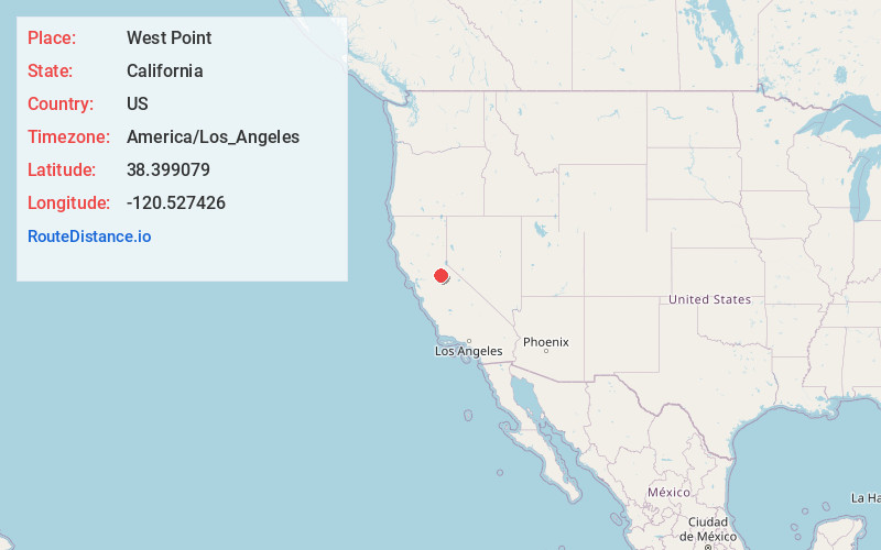
Full AddressWest Point, CA 95255
-
Coordinates38.3990786, -120.527426
-
LocationWest Point , California , US
-
TimezoneAmerica/Los_Angeles
-
Current Local Time4:30:37 PM America/Los_AngelesSunday, June 22, 2025
-
Page Views0
About West Point
West Point is a census-designated place in Calaveras County, California, in the United States. As of the 2010 United States census, West Point's population was 674, down from 746 as of the 2000 census. The town is registered as California Historical Landmark #268.


Nearby Places
Found 10 places within 50 miles

Buckhorn
3.7 mi
6.0 km
Buckhorn, CA 95666
Get directions

Pioneer
3.8 mi
6.1 km
Pioneer, CA 95666
Get directions
Red Corral
4.6 mi
7.4 km
Red Corral, CA
Get directions

Pine Grove
7.2 mi
11.6 km
Pine Grove, CA
Get directions

Mokelumne Hill
11.8 mi
19.0 km
Mokelumne Hill, CA 95245
Get directions

Arnold
13.8 mi
22.2 km
Arnold, CA 95223
Get directions

Jackson
13.8 mi
22.2 km
Jackson, CA 95642
Get directions

Sutter Creek
14.9 mi
24.0 km
Sutter Creek, CA
Get directions

San Andreas
16.3 mi
26.2 km
San Andreas, CA 95249
Get directions

Grizzly Flats
16.4 mi
26.4 km
Grizzly Flats, CA
Get directions
Location Links
Local Weather
Weather Information
Coming soon!
Location Map
Static map view of West Point, California
Browse Places by Distance
Places within specific distances from West Point
Short Distances
Long Distances
Click any distance to see all places within that range from West Point. Distances shown in miles (1 mile ≈ 1.61 kilometers).