Distance to West Point, Utah

Calculating Your Route
Just a moment while we process your request...
Location Information
-
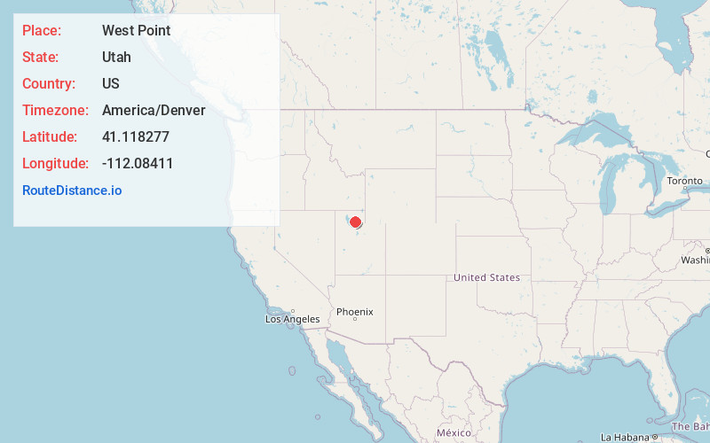
Full AddressWest Point, UT
-
Coordinates41.1182767, -112.08411
-
LocationWest Point , Utah , US
-
TimezoneAmerica/Denver
-
Current Local Time7:13:10 PM America/DenverSunday, May 25, 2025
-
Page Views0
About West Point
West Point is a city in Davis County, Utah, United States. It is part of the Ogden–Clearfield, Utah Metropolitan Statistical Area. The population was 9,511 at the 2010 census, up from 6,033 in 2000. The estimated population in 2019 was 10,957.


Nearby Places
Found 10 places within 50 miles

Syracuse
2.2 mi
3.5 km
Syracuse, UT
Get directions

Clinton
2.3 mi
3.7 km
Clinton, UT
Get directions

Clearfield
3.1 mi
5.0 km
Clearfield, UT
Get directions

Roy
4.2 mi
6.8 km
Roy, UT
Get directions

West Haven
6.1 mi
9.8 km
West Haven, UT 84401
Get directions

Layton
7.1 mi
11.4 km
Layton, UT
Get directions

South Ogden
7.6 mi
12.2 km
South Ogden, UT
Get directions

Ogden
9.1 mi
14.6 km
Ogden, UT
Get directions

Kaysville
9.5 mi
15.3 km
Kaysville, UT
Get directions

Farmington
14.0 mi
22.5 km
Farmington, UT 84025
Get directions
Location Links
Local Weather
Weather Information
Coming soon!
Location Map
Static map view of West Point, Utah
Browse Places by Distance
Places within specific distances from West Point
Short Distances
Long Distances
Click any distance to see all places within that range from West Point. Distances shown in miles (1 mile ≈ 1.61 kilometers).