Distance to West Point, Pennsylvania

Calculating Your Route
Just a moment while we process your request...
Location Information
-
Full AddressWest Point, PA
-
Coordinates40.2090521, -75.2964708
-
LocationWest Point , Pennsylvania , US
-
TimezoneAmerica/New_York
-
Current Local Time2:11:46 PM America/New_YorkThursday, May 22, 2025
-
Page Views0
About West Point
West Point is an unincorporated community in Upper Gwynedd Township, Montgomery County, Pennsylvania, United States. Zacharias Creek starts here and flows west into the Skippack Creek, a tributary of the Perkiomen Creek.
Nearby Places
Found 10 places within 50 miles

Upper Gwynedd Township
0.9 mi
1.4 km
Upper Gwynedd Township, PA
Get directions

North Wales
1.0 mi
1.6 km
North Wales, PA 19454
Get directions
Heebnerville
1.1 mi
1.8 km
Heebnerville, West Point, PA 19446
Get directions
Bethel Hill
2.1 mi
3.4 km
Bethel Hill, Worcester Township, PA 19403
Get directions
Belfry
2.3 mi
3.7 km
Belfry, Whitpain Township, PA 19422
Get directions

Lansdale
2.3 mi
3.7 km
Lansdale, PA 19446
Get directions
Center Square
2.9 mi
4.7 km
Center Square, PA 19422
Get directions
Whitpain Township
3.1 mi
5.0 km
Whitpain Township, PA
Get directions

Worcester Township
3.1 mi
5.0 km
Worcester Township, PA
Get directions

Kulpsville
3.2 mi
5.1 km
Kulpsville, PA
Get directions
Location Links
Local Weather
Weather Information
Coming soon!
Location Map
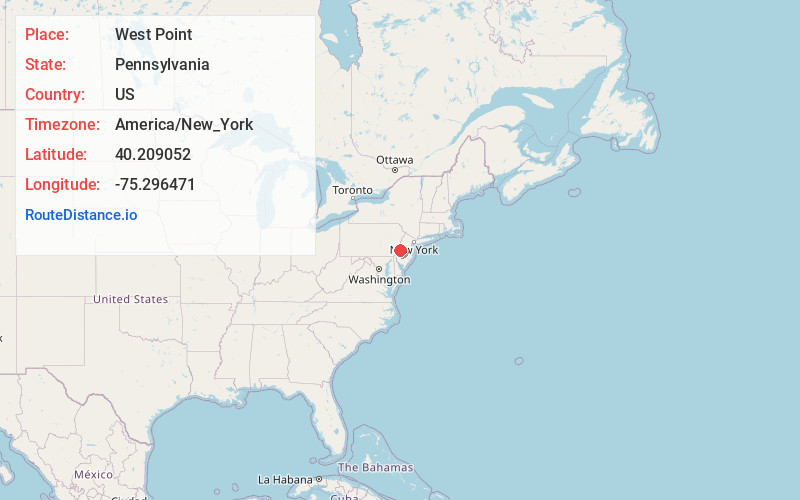
Static map view of West Point, Pennsylvania
Browse Places by Distance
Places within specific distances from West Point
Short Distances
Long Distances
Click any distance to see all places within that range from West Point. Distances shown in miles (1 mile ≈ 1.61 kilometers).