Distance to West Point, Texas

Calculating Your Route
Just a moment while we process your request...
Location Information
-
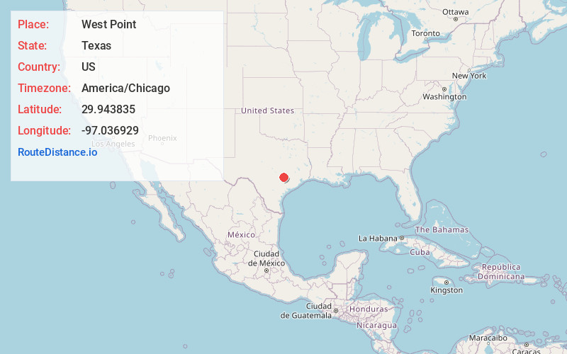
Full AddressWest Point, TX 78963
-
Coordinates29.9438347, -97.0369289
-
LocationWest Point , Texas , US
-
TimezoneAmerica/Chicago
-
Current Local Time8:42:54 PM America/ChicagoMonday, May 19, 2025
-
Page Views0
About West Point
West Point is an unincorporated community in western Fayette County, Texas, United States.
West Point has one post office, founded, according to USPS records, on January 27, 1873; its ZIP Code is 78963. However, it is in disrepair and is no longer staffed or accessible.


Nearby Places
Found 10 places within 50 miles

Kirtley
4.0 mi
6.4 km
Kirtley, TX 78957
Get directions
Lena
4.1 mi
6.6 km
Lena, TX 78949
Get directions
Plum
4.2 mi
6.8 km
Plum, TX
Get directions

Winchester
4.7 mi
7.6 km
Winchester, TX 78945
Get directions
Stellar
7.2 mi
11.6 km
Stellar, TX 78941
Get directions

Smithville
8.6 mi
13.8 km
Smithville, TX 78957
Get directions
Wendt
8.6 mi
13.8 km
Wendt, TX 78945
Get directions

Muldoon
9.1 mi
14.6 km
Muldoon, TX 78949
Get directions
O'Quinn
9.3 mi
15.0 km
O'Quinn, TX 78945
Get directions

La Grange
10.0 mi
16.1 km
La Grange, TX 78945
Get directions
Location Links
Local Weather
Weather Information
Coming soon!
Location Map
Static map view of West Point, Texas
Browse Places by Distance
Places within specific distances from West Point
Short Distances
Long Distances
Click any distance to see all places within that range from West Point. Distances shown in miles (1 mile ≈ 1.61 kilometers).