Distance to West Union, Illinois

Calculating Your Route
Just a moment while we process your request...
Location Information
-
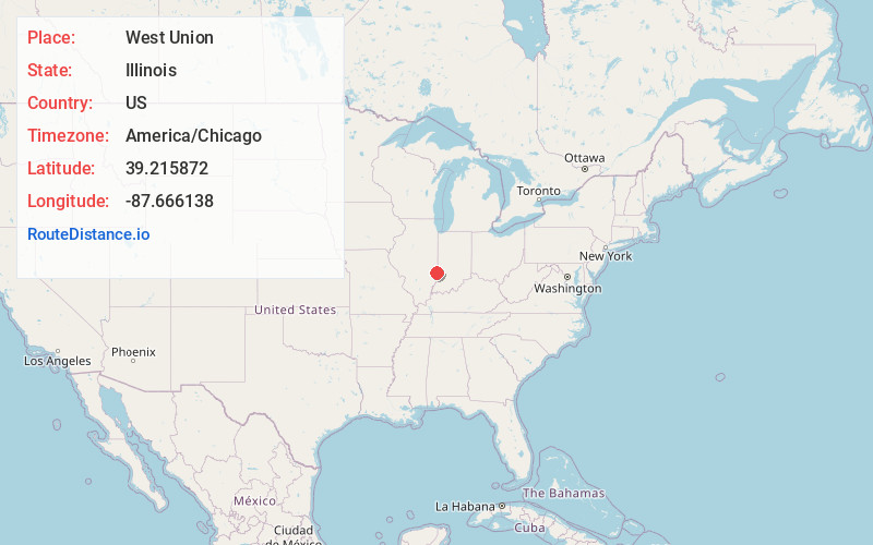
Full AddressWest Union, IL 62477
-
Coordinates39.2158724, -87.6661375
-
LocationWest Union , Illinois , US
-
TimezoneAmerica/Chicago
-
Current Local Time9:12:38 AM America/ChicagoSaturday, June 28, 2025
-
Page Views0
About West Union
West Union is an unincorporated census-designated place located in York Township in the southeast corner of Clark County, Illinois, on Illinois Route 1. Its postal zip code is 62477. As of the 2020 census, its population was 271.
Nearby Places
Found 10 places within 50 miles

Hutsonville
7.4 mi
11.9 km
Hutsonville, IL 62433
Get directions

Fairbanks
7.8 mi
12.6 km
Fairbanks, IN
Get directions

Prairie Creek
9.9 mi
15.9 km
Prairie Creek, IN
Get directions

Marshall
12.2 mi
19.6 km
Marshall, IL 62441
Get directions
Prairieton Township
13.9 mi
22.4 km
Prairieton Township, IN 47802
Get directions

Martinsville
14.2 mi
22.9 km
Martinsville, IL 62442
Get directions
Shelburn
14.8 mi
23.8 km
Shelburn, IN 47879
Get directions

Palestine
14.9 mi
24.0 km
Palestine, IL 62451
Get directions
Robinson
15.0 mi
24.1 km
Robinson, IL 62454
Get directions
Farmersburg
15.5 mi
24.9 km
Farmersburg, IN 47850
Get directions
Location Links
Local Weather
Weather Information
Coming soon!
Location Map
Static map view of West Union, Illinois
Browse Places by Distance
Places within specific distances from West Union
Short Distances
Long Distances
Click any distance to see all places within that range from West Union. Distances shown in miles (1 mile ≈ 1.61 kilometers).