Distance to Westbrook, Connecticut

Calculating Your Route
Just a moment while we process your request...
Location Information
-
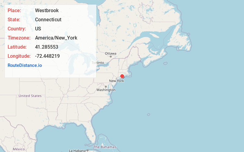
Full AddressWestbrook, CT
-
Coordinates41.2855534, -72.4482194
-
LocationWestbrook , Connecticut , US
-
TimezoneAmerica/New_York
-
Current Local Time11:56:14 AM America/New_YorkTuesday, June 24, 2025
-
Website
-
Page Views0
About Westbrook
Westbrook is a town in Middlesex County, Connecticut, United States. The town is part of the Lower Connecticut River Valley Planning Region. The population was 6,769 at the 2020 census. The town center is classified by the U.S. Census Bureau as a census-designated place.


Nearby Places
Found 10 places within 50 miles

Clinton Beach
2.8 mi
4.5 km
Clinton Beach, Clinton, CT 06413
Get directions

Kelseytown
4.4 mi
7.1 km
Kelseytown, Clinton, CT 06413
Get directions
Lyme Station
6.4 mi
10.3 km
Lyme Station, Old Lyme, CT 06371
Get directions
Black Hall
6.8 mi
10.9 km
Black Hall, Old Lyme, CT 06371
Get directions

Deep River
6.9 mi
11.1 km
Deep River, CT
Get directions

Madison
7.8 mi
12.6 km
Madison, CT 06443
Get directions

Killingworth
7.9 mi
12.7 km
Killingworth, CT 06419
Get directions

Chester
8.3 mi
13.4 km
Chester, CT
Get directions

Hawks Nest Beach
8.6 mi
13.8 km
Hawks Nest Beach, Old Lyme, CT 06371
Get directions
Old Lyme Shores
9.0 mi
14.5 km
Old Lyme Shores, Old Lyme, CT 06371
Get directions
Location Links
Local Weather
Weather Information
Coming soon!
Location Map
Static map view of Westbrook, Connecticut
Browse Places by Distance
Places within specific distances from Westbrook
Short Distances
Long Distances
Click any distance to see all places within that range from Westbrook. Distances shown in miles (1 mile ≈ 1.61 kilometers).