Distance to Westerlo, New York

Calculating Your Route
Just a moment while we process your request...
Location Information
-
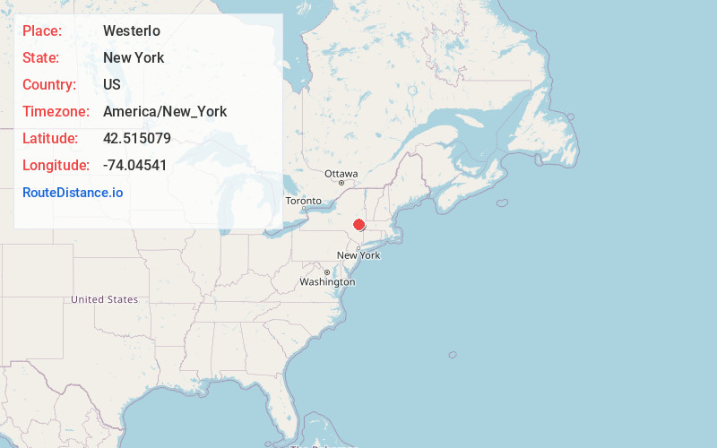
Full AddressWesterlo, NY 12193
-
Coordinates42.5150785, -74.0454099
-
LocationWesterlo , New York , US
-
TimezoneAmerica/New_York
-
Current Local Time10:26:33 PM America/New_YorkWednesday, June 4, 2025
-
Page Views0
About Westerlo
Westerlo is a town in Albany County, New York, United States. The population was 3,194 at the 2020 census.
The town is on the southern border of Albany County and is served by New York State Route 143.


Nearby Places
Found 10 places within 50 miles

Greenville
7.0 mi
11.3 km
Greenville, NY 12083
Get directions

New Scotland
10.3 mi
16.6 km
New Scotland, NY 12159
Get directions

Ravena
12.1 mi
19.5 km
Ravena, NY
Get directions

Bethlehem
12.3 mi
19.8 km
Bethlehem, NY
Get directions

New Baltimore
13.9 mi
22.4 km
New Baltimore, NY
Get directions

Guilderland
14.7 mi
23.7 km
Guilderland, NY 12084
Get directions

Westmere
15.1 mi
24.3 km
Westmere, NY
Get directions

Coxsackie
16.8 mi
27.0 km
Coxsackie, NY
Get directions
Roessleville
17.4 mi
28.0 km
Roessleville, NY
Get directions

Duanesburg
17.6 mi
28.3 km
Duanesburg, NY
Get directions
Location Links
Local Weather
Weather Information
Coming soon!
Location Map
Static map view of Westerlo, New York
Browse Places by Distance
Places within specific distances from Westerlo
Short Distances
Long Distances
Click any distance to see all places within that range from Westerlo. Distances shown in miles (1 mile ≈ 1.61 kilometers).