Distance to Westmanland, Maine

Calculating Your Route
Just a moment while we process your request...
Location Information
-
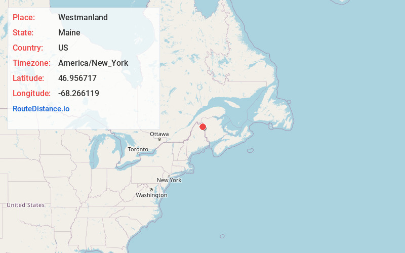
Full AddressWestmanland, ME
-
Coordinates46.956717, -68.2661187
-
LocationWestmanland , Maine , US
-
TimezoneAmerica/New_York
-
Current Local Time12:36:49 AM America/New_YorkSunday, June 1, 2025
-
Page Views0
About Westmanland
Westmanland is a town in Aroostook County, Maine, United States. The population was 79 at the 2020 census.
Nearby Places
Found 10 places within 50 miles

New Sweden
6.9 mi
11.1 km
New Sweden, ME 04762
Get directions

Stockholm
8.4 mi
13.5 km
Stockholm, ME
Get directions

Perham
8.4 mi
13.5 km
Perham, ME
Get directions

Woodland
8.6 mi
13.8 km
Woodland, ME 04736
Get directions

Wade
12.1 mi
19.5 km
Wade, ME 04786
Get directions

Washburn
12.7 mi
20.4 km
Washburn, ME
Get directions

Caribou
14.2 mi
22.9 km
Caribou, ME 04736
Get directions

Portage Lake
16.0 mi
25.7 km
Portage Lake, ME 04768
Get directions

Eagle Lake
16.3 mi
26.2 km
Eagle Lake, ME 04739
Get directions
Castle Hill
16.6 mi
26.7 km
Castle Hill, ME
Get directions
Location Links
Local Weather
Weather Information
Coming soon!
Location Map
Static map view of Westmanland, Maine
Browse Places by Distance
Places within specific distances from Westmanland
Short Distances
Long Distances
Click any distance to see all places within that range from Westmanland. Distances shown in miles (1 mile ≈ 1.61 kilometers).