Distance to Weston, Wyoming

Calculating Your Route
Just a moment while we process your request...
Location Information
-
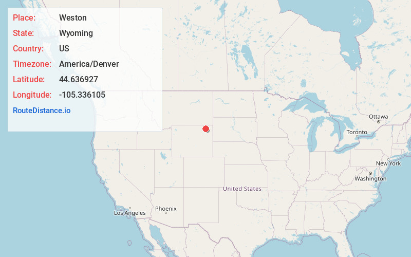
Full AddressWeston, WY 82731
-
Coordinates44.636927, -105.3361045
-
LocationWeston , Wyoming , US
-
TimezoneAmerica/Denver
-
Current Local Time5:58:49 PM America/DenverFriday, May 30, 2025
-
Page Views1
About Weston
Weston is an unincorporated community in northern Campbell County, Wyoming, United States, along the upper Little Powder River on the southeastern edge of the Thunder Basin National Grassland. It lies along WYO 59 north of the city of Gillette, the county seat of Campbell County. Its elevation is 3,802 feet.
Nearby Places
Found 10 places within 50 miles

Rockypoint Oil Field
19.6 mi
31.5 km
Rockypoint Oil Field, Wyoming 82731
Get directions
Oshoto
19.9 mi
32.0 km
Oshoto, WY 82721
Get directions

Gillette
25.0 mi
40.2 km
Gillette, WY
Get directions

Spotted Horse
25.0 mi
40.2 km
Spotted Horse, WY 82831
Get directions
New Haven
25.3 mi
40.7 km
New Haven, WY 82720
Get directions
Rozet
25.6 mi
41.2 km
Rozet, WY 82727
Get directions
Missouri Buttes
27.6 mi
44.4 km
Missouri Buttes, Wyoming 82714
Get directions
Sleepy Hollow
28.5 mi
45.9 km
Sleepy Hollow, WY 82718
Get directions
Bay Horse
30.3 mi
48.8 km
Bay Horse, MT 59314
Get directions

Devils Tower National Monument
30.7 mi
49.4 km
Devils Tower National Monument, Devils Tower, WY 82714
Get directions
Location Links
Local Weather
Weather Information
Coming soon!
Location Map
Static map view of Weston, Wyoming
Browse Places by Distance
Places within specific distances from Weston
Short Distances
Long Distances
Click any distance to see all places within that range from Weston. Distances shown in miles (1 mile ≈ 1.61 kilometers).