Distance to Westover, Louisiana

Calculating Your Route
Just a moment while we process your request...
Location Information
-
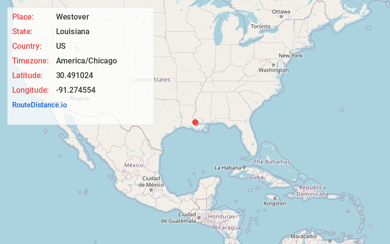
Full AddressWestover, LA 70767
-
Coordinates30.4910235, -91.2745538
-
LocationWestover , Louisiana , US
-
TimezoneAmerica/Chicago
-
Current Local Time2:43:17 PM America/ChicagoFriday, June 20, 2025
-
Page Views0
Nearby Places
Found 10 places within 50 miles

Allendale
0.4 mi
0.6 km
Allendale, LA 70767
Get directions
Lejeune
0.7 mi
1.1 km
Lejeune, LA 70767
Get directions
Lobdell
1.3 mi
2.1 km
Lobdell, LA 70767
Get directions
Devalls
2.7 mi
4.3 km
Devalls, LA 70767
Get directions
Chamberlin
3.5 mi
5.6 km
Chamberlin, LA 70767
Get directions
Anchorage
3.9 mi
6.3 km
Anchorage, LA 70767
Get directions
Poplar Grove Plantation
4.0 mi
6.4 km
Poplar Grove Plantation, LA 70767
Get directions

Port Allen
5.0 mi
8.0 km
Port Allen, LA 70767
Get directions

Baton Rouge
5.9 mi
9.5 km
Baton Rouge, LA
Get directions
Alfords
6.0 mi
9.7 km
Alfords, LA 70729
Get directions
Location Links
Local Weather
Weather Information
Coming soon!
Location Map
Static map view of Westover, Louisiana
Browse Places by Distance
Places within specific distances from Westover
Short Distances
Long Distances
Click any distance to see all places within that range from Westover. Distances shown in miles (1 mile ≈ 1.61 kilometers).