Distance to Westway, Texas

Calculating Your Route
Just a moment while we process your request...
Location Information
-
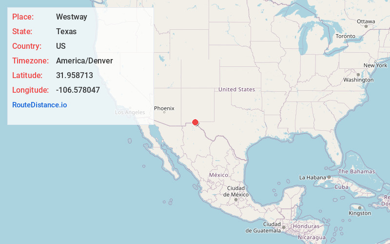
Full AddressWestway, TX 79835
-
Coordinates31.9587133, -106.5780465
-
LocationWestway , Texas , US
-
TimezoneAmerica/Denver
-
Current Local Time1:17:16 PM America/DenverTuesday, June 24, 2025
-
Page Views0
About Westway
Westway is a census-designated place in El Paso County, Texas, United States. The population was 4,188 at the 2010 census. It is part of the El Paso Metropolitan Statistical Area. It is located east of Interstate 10, approximately 2 miles from the New Mexico - Texas state line.
Nearby Places
Found 10 places within 50 miles

Anthony
3.2 mi
5.1 km
Anthony, TX 79821
Get directions

Canutillo
3.5 mi
5.6 km
Canutillo, TX
Get directions

Anthony
3.5 mi
5.6 km
Anthony, NM 88021
Get directions

Santa Teresa
8.0 mi
12.9 km
Santa Teresa, NM 88008
Get directions

Chaparral
10.8 mi
17.4 km
Chaparral, NM 88081
Get directions

Sunland Park
11.2 mi
18.0 km
Sunland Park, NM
Get directions

Fort Bliss
13.7 mi
22.0 km
Fort Bliss, TX
Get directions

El Paso
14.7 mi
23.7 km
El Paso, TX
Get directions

Homestead Meadows North
25.0 mi
40.2 km
Homestead Meadows North, TX 79938
Get directions

Homestead Meadows South
26.2 mi
42.2 km
Homestead Meadows South, TX 79938
Get directions
Location Links
Local Weather
Weather Information
Coming soon!
Location Map
Static map view of Westway, Texas
Browse Places by Distance
Places within specific distances from Westway
Short Distances
Long Distances
Click any distance to see all places within that range from Westway. Distances shown in miles (1 mile ≈ 1.61 kilometers).