Distance to Westwood, Iowa

Calculating Your Route
Just a moment while we process your request...
Location Information
-
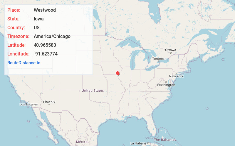
Full AddressWestwood, IA 52641
-
Coordinates40.9655832, -91.6237738
-
LocationWestwood , Iowa , US
-
TimezoneAmerica/Chicago
-
Current Local Time1:39:28 PM America/ChicagoSunday, June 15, 2025
-
Page Views0
About Westwood
Westwood is a city in Henry County, Iowa, United States. The population was 101 at the time of the 2020 census.
Nearby Places
Found 10 places within 50 miles

Mt Pleasant
3.9 mi
6.3 km
Mt Pleasant, IA 52641
Get directions

Lockridge
6.8 mi
10.9 km
Lockridge, IA 52635
Get directions

Salem
7.8 mi
12.6 km
Salem, IA 52649
Get directions

Hillsboro
10.1 mi
16.3 km
Hillsboro, IA 52630
Get directions
Swedesburg
10.4 mi
16.7 km
Swedesburg, IA
Get directions

New London
12.0 mi
19.3 km
New London, IA 52645
Get directions

Olds
12.4 mi
20.0 km
Olds, IA
Get directions
Wayland
12.7 mi
20.4 km
Wayland, IA 52654
Get directions
Stockport
13.3 mi
21.4 km
Stockport, IA 52651
Get directions
Mt Union
13.7 mi
22.0 km
Mt Union, IA 52644
Get directions
Location Links
Local Weather
Weather Information
Coming soon!
Location Map
Static map view of Westwood, Iowa
Browse Places by Distance
Places within specific distances from Westwood
Short Distances
Long Distances
Click any distance to see all places within that range from Westwood. Distances shown in miles (1 mile ≈ 1.61 kilometers).