Distance to Wewela, South Dakota

Calculating Your Route
Just a moment while we process your request...
Location Information
-
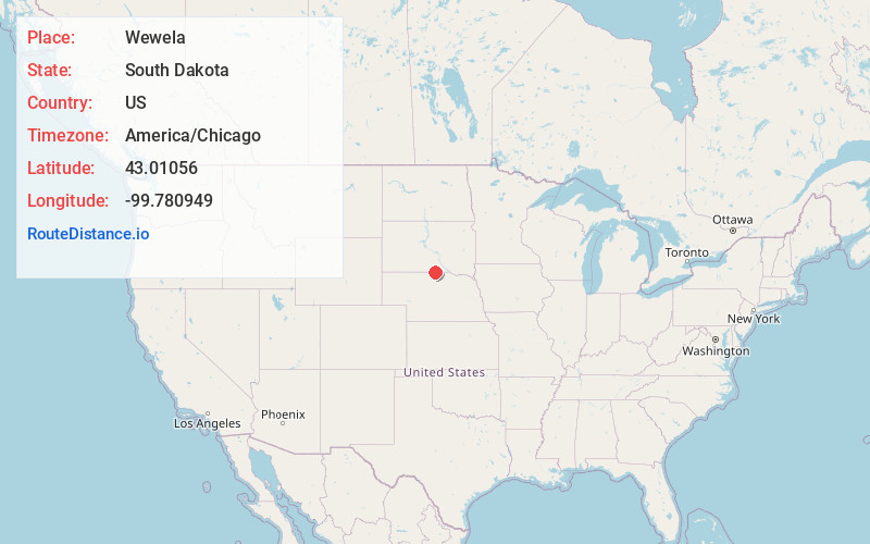
Full AddressWewela, SD 57580
-
Coordinates43.0105597, -99.7809488
-
LocationWewela , South Dakota , US
-
TimezoneAmerica/Chicago
-
Current Local Time10:05:33 PM America/ChicagoWednesday, May 28, 2025
-
Page Views0
About Wewela
Wewela is an unincorporated community in Tripp County, South Dakota, United States. Wewela is located on U.S. Route 183 near the Nebraska border, south of Colome.
The community most likely was named for springs near the original town site, Wewela meaning "small spring" in the Sioux language.
Nearby Places
Found 10 places within 50 miles

Millboro
10.4 mi
16.7 km
Millboro, SD 57580
Get directions
Burton
11.8 mi
19.0 km
Burton, NE 68778
Get directions

Springview
13.0 mi
20.9 km
Springview, NE 68778
Get directions

Colome
17.6 mi
28.3 km
Colome, SD 57528
Get directions
Mills
17.7 mi
28.5 km
Mills, NE 68753
Get directions
Meadville
17.7 mi
28.5 km
Meadville, Garfield Precinct, NE 68778
Get directions
Carlock
18.2 mi
29.3 km
Carlock, SD 57533
Get directions
Keyapaha
19.3 mi
31.1 km
Keyapaha, Holsclaw Township, SD 57580
Get directions
Dallas
20.5 mi
33.0 km
Dallas, SD 57529
Get directions
Riverview
21.7 mi
34.9 km
Riverview, Custer Precinct, NE 68778
Get directions
Location Links
Local Weather
Weather Information
Coming soon!
Location Map
Static map view of Wewela, South Dakota
Browse Places by Distance
Places within specific distances from Wewela
Short Distances
Long Distances
Click any distance to see all places within that range from Wewela. Distances shown in miles (1 mile ≈ 1.61 kilometers).