Distance to Wheat Sheaf, Pennsylvania

Calculating Your Route
Just a moment while we process your request...
Location Information
-
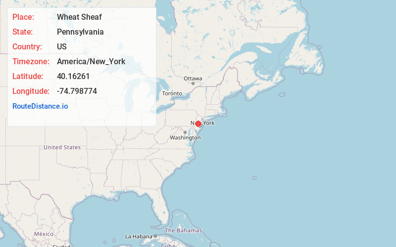
Full AddressWheat Sheaf, PA 19067
-
Coordinates40.1626096, -74.7987737
-
LocationWheat Sheaf , Pennsylvania , US
-
TimezoneAmerica/New_York
-
Current Local Time3:32:09 PM America/New_YorkTuesday, July 1, 2025
-
Page Views0
Nearby Places
Found 10 places within 50 miles

Lakeside
1.2 mi
1.9 km
Lakeside, Tullytown, PA 19054
Get directions
Pinewood
1.2 mi
1.9 km
Pinewood, Levittown, PA 19054
Get directions
Elderberry Pond
1.4 mi
2.3 km
Elderberry Pond, Levittown, PA 19054
Get directions
Thornridge
1.5 mi
2.4 km
Thornridge, Levittown, PA 19054
Get directions

Birch Valley
1.6 mi
2.6 km
Birch Valley, Levittown, PA 19054
Get directions

Levittown
1.7 mi
2.7 km
Levittown, PA
Get directions

Tullytown
1.8 mi
2.9 km
Tullytown, PA
Get directions
Magnolia Hill
1.9 mi
3.1 km
Magnolia Hill, Levittown, PA 19054
Get directions
Crabtree Hollow
1.9 mi
3.1 km
Crabtree Hollow, Levittown, PA 19055
Get directions
Vermilion Hill
2.0 mi
3.2 km
Vermilion Hill, Levittown, PA 19054
Get directions
Location Links
Local Weather
Weather Information
Coming soon!
Location Map
Static map view of Wheat Sheaf, Pennsylvania
Browse Places by Distance
Places within specific distances from Wheat Sheaf
Short Distances
Long Distances
Click any distance to see all places within that range from Wheat Sheaf. Distances shown in miles (1 mile ≈ 1.61 kilometers).